Transport Functions
Port
Road
Hub Profile
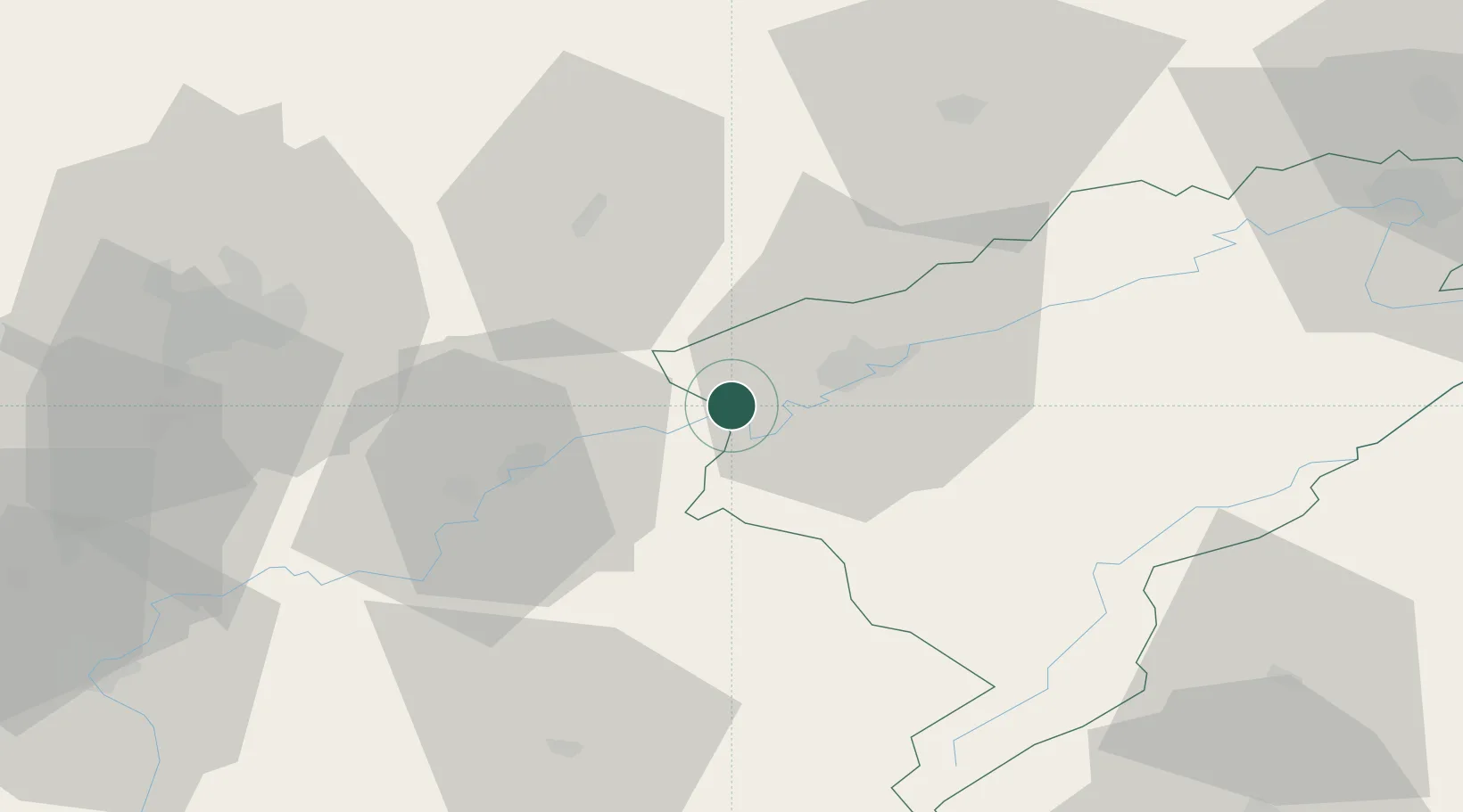
Place type
Populated place
Region
Bourgogne
Population
4,549
Time zone
Europe/Paris
Elevation
248 m
Location
Nearby Logistics Neighbours
Cities
- 1Lantenne-Vertière6 km
- 2Chemaudin7 km
- 3Vaux-les-Prés8 km
- 4Montferrand-le-Château9 km
- 5Ranchot9 km
Ports
- 1Savona381 km
- 2Rada Di Vado384 km
- 3Genova392 km
- 4Monaco403 km
- 5Nice404 km
Airports
Trade Zones
- 1ZFU Besancon16 km
- 2ZFU Chenôve64 km
- 3PESA - Port-Franc et Entrepôts de Lausanne-Chavornay SA77 km
- 4ZFU Montbéliard81 km
- 5ZFU Belfort91 km
DatabookThe Record of Consolidated Knowledge
France beyond logistics?