Transport Functions
Multimodal
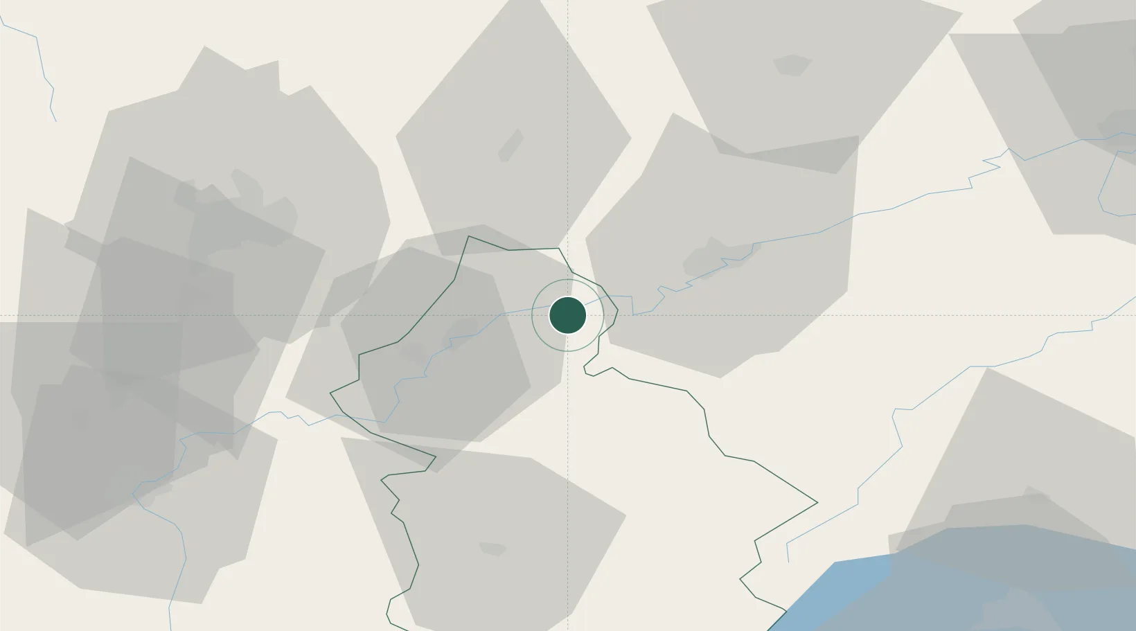
Hub Profile
Place type
Populated place
Region
Bourgogne
Population
498
Time zone
Europe/Paris
Elevation
223 m
Location
Nearby Logistics Neighbours
Cities
- 1La Barre3 km
- 2Orchamps5 km
- 3Saint-Vit9 km
- 4Lavans-lès-Dole10 km
- 5Liesle12 km
Ports
- 1Savona380 km
- 2Rada Di Vado383 km
- 3Genova393 km
- 4Monaco401 km
- 5Nice401 km
Airports
Trade Zones
- 1ZFU Besancon25 km
- 2ZFU Chenôve58 km
- 3PESA - Port-Franc et Entrepôts de Lausanne-Chavornay SA80 km
- 4ZFU Montbéliard91 km
- 5Port Franc Vevey98 km
DatabookThe Record of Consolidated Knowledge
France beyond logistics?