Transport Functions
Multimodal
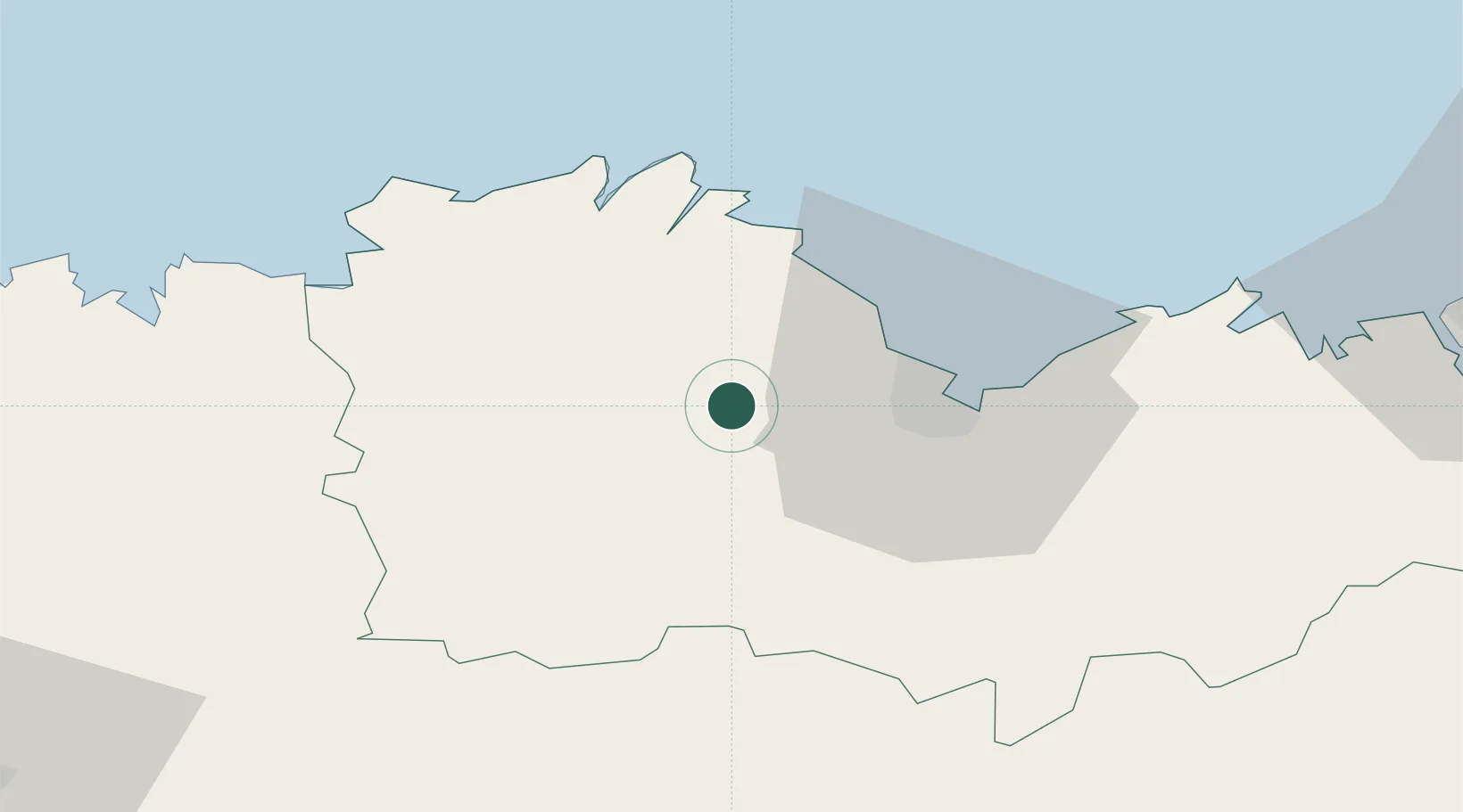
Hub Profile
Place type
Populated place
Region
Brittany
Population
1,133
Time zone
Europe/Paris
Elevation
196 m
Location
Nearby Logistics Neighbours
Ports
- 1Le Legue21 km
- 2Pontrieux23 km
- 3Paimpol30 km
- 4Lezardrieux31 km
- 5Treguier33 km
Airports
- 1Saint-Brieuc-Armor Airport14 km
- 2Lannion Airport42 km
- 3Morlaix-Ploujean Airport58 km
- 4Dinard Pleurtuit Saint-Malo airport71 km
- 5Landivisiau Air Base82 km
Trade Zones
- 1ZFU Saint-Nazaire149 km
- 2ZFU Cherbourg-Octeville160 km
- 3ZFU Nantes et Saint-Herblain175 km
- 4ZFU La Guérinière, La Grâce de Dieu206 km
- 5ZFU Hérouville-Saint-Clair211 km
DatabookThe Record of Consolidated Knowledge
France beyond logistics?