Transport Functions
Multimodal
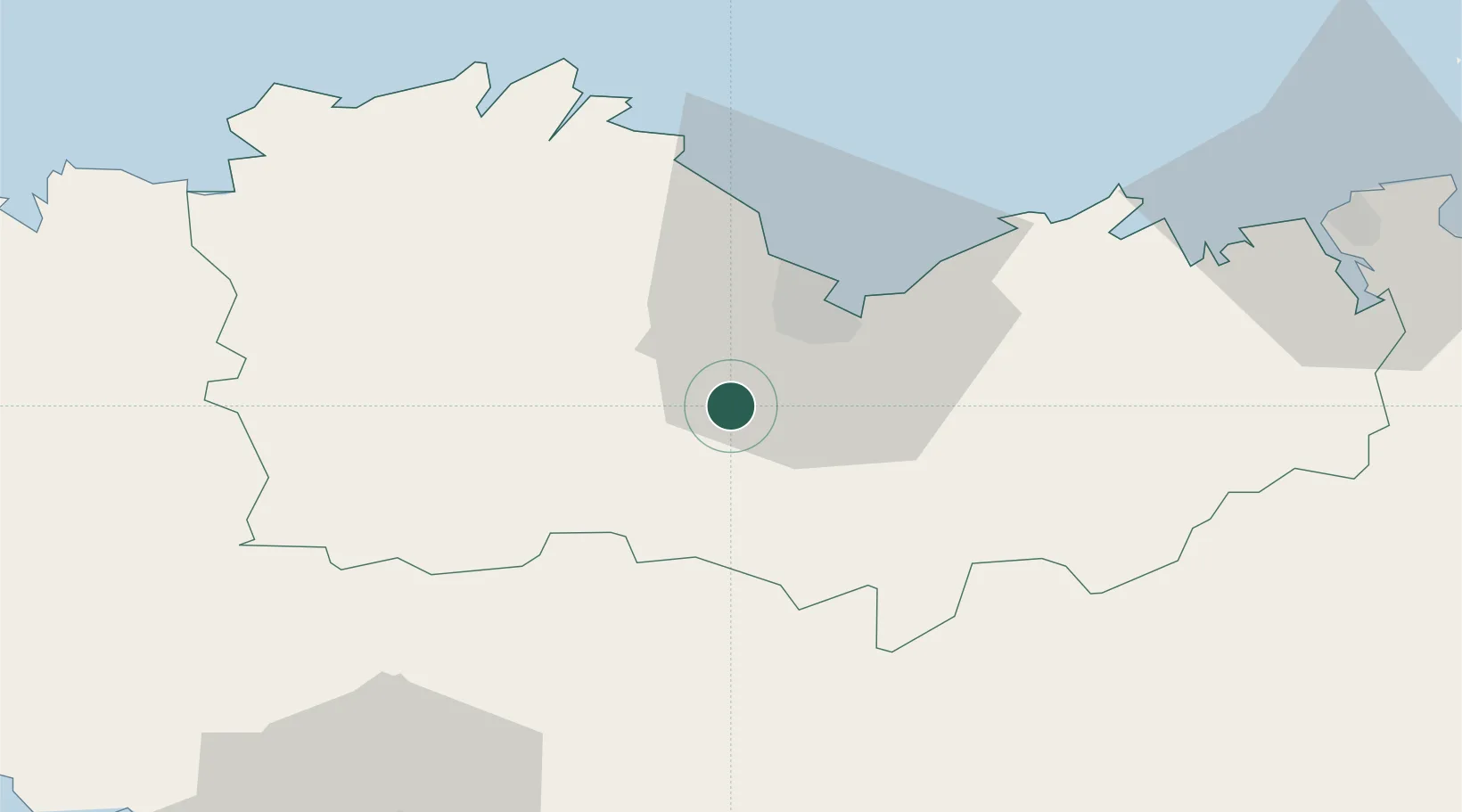
Hub Profile
Place type
Populated place
Region
Brittany
Population
2,232
Time zone
Europe/Paris
Elevation
206 m
Location
Nearby Logistics Neighbours
Cities
- 1La Méaugon13 km
- 2Saint-Brieuc16 km
- 3Canihuel18 km
- 4Trévé19 km
- 5Lanrodec19 km
Ports
- 1Le Legue19 km
- 2Pontrieux42 km
- 3Paimpol47 km
- 4Lezardrieux48 km
- 5Treguier52 km
Airports
Trade Zones
- 1ZFU Saint-Nazaire131 km
- 2ZFU Nantes et Saint-Herblain156 km
- 3ZFU Cherbourg-Octeville165 km
- 4ZFU Angers197 km
- 5ZFU La Guérinière, La Grâce de Dieu201 km
DatabookThe Record of Consolidated Knowledge
France beyond logistics?