Transport Functions
Multimodal
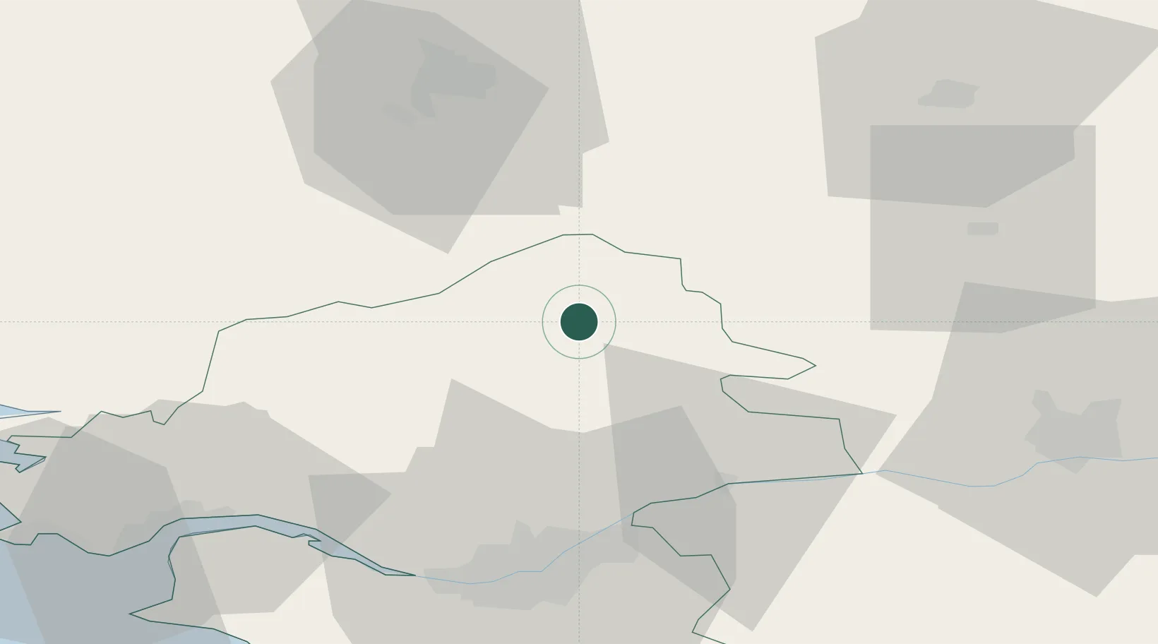
Hub Profile
Place type
Populated place
Region
Pays de la Loire
Population
868
Time zone
Europe/Paris
Elevation
70 m
Location
Nearby Logistics Neighbours
Cities
- 1Cré5 km
- 2Issé6 km
- 3Grand-Auverné11 km
- 4Le Bignon12 km
- 5le Château Renard13 km
Ports
- 1Nantes53 km
- 2Donges63 km
- 3Montoir67 km
- 4St Nazaire72 km
- 5Saint-Malo118 km
Airports
Trade Zones
- 1ZFU Nantes et Saint-Herblain53 km
- 2ZFU Angers66 km
- 3ZFU Saint-Nazaire77 km
- 4ZFU Le Mans122 km
- 5ZFU Alençon141 km
DatabookThe Record of Consolidated Knowledge
France beyond logistics?