Transport Functions
Multimodal
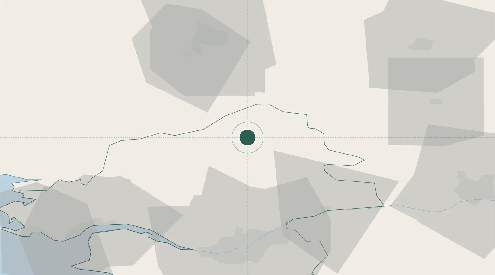
Hub Profile
Place type
Populated place
Region
Centre-Val de Loire
Time zone
Europe/Paris
Elevation
157 m
Location
Nearby Logistics Neighbours
Cities
- 1Louisfert5 km
- 2Le Bignon7 km
- 3Issé8 km
- 4le Château Renard9 km
- 5Grand-Auverné16 km
Ports
- 1Nantes54 km
- 2Donges60 km
- 3Montoir64 km
- 4St Nazaire69 km
- 5Saint-Malo114 km
Airports
Trade Zones
- 1ZFU Nantes et Saint-Herblain53 km
- 2ZFU Angers71 km
- 3ZFU Saint-Nazaire74 km
- 4ZFU Le Mans126 km
- 5ZFU Alençon144 km
DatabookThe Record of Consolidated Knowledge
France beyond logistics?