Transport Functions
Multimodal
Hub Profile
Place type
Populated place
Region
Pays de la Loire
Population
1,937
Time zone
Europe/Paris
Elevation
38 m
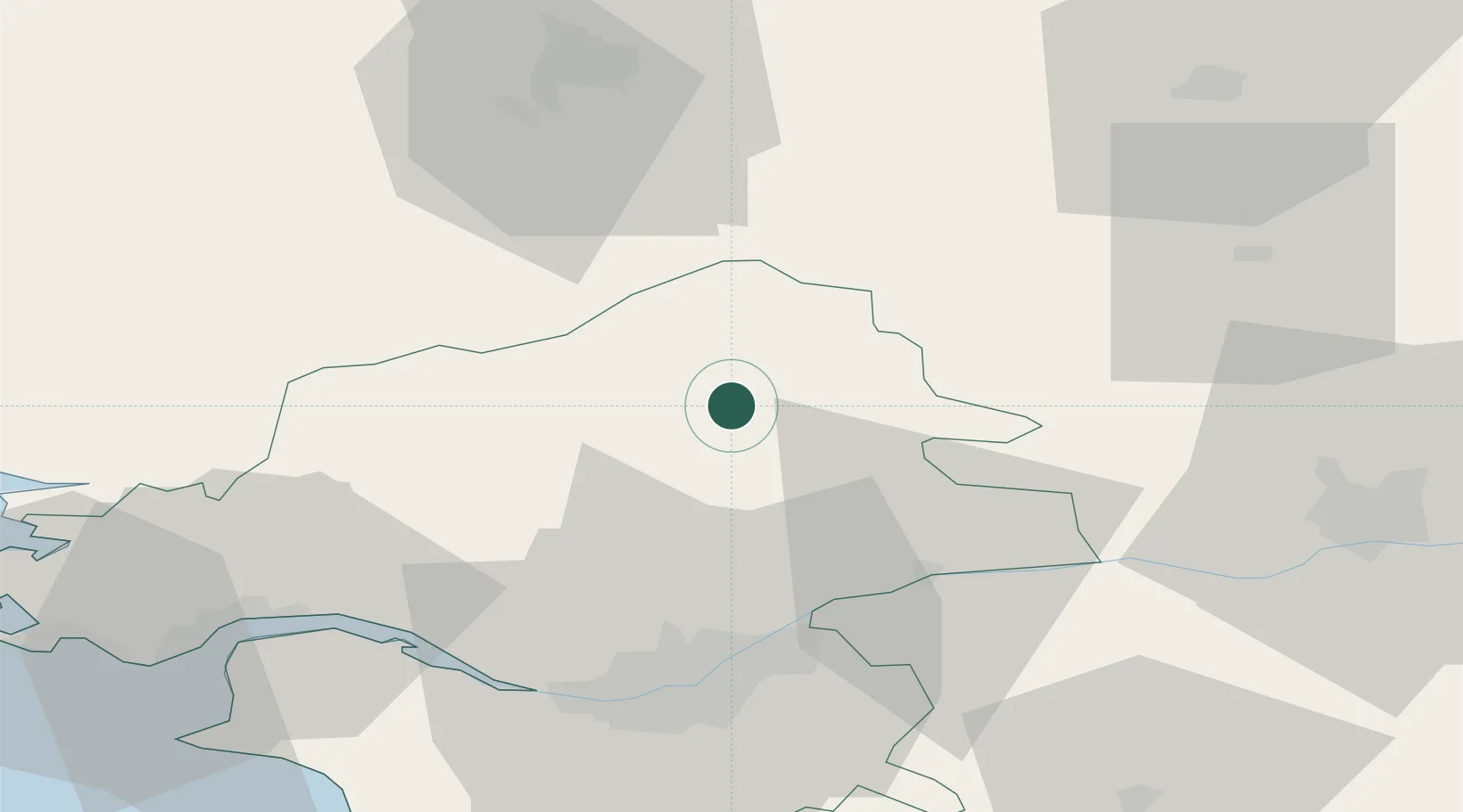
Location
Nearby Logistics Neighbours
Cities
- 1Louisfert6 km
- 2Cré8 km
- 3Grand-Auverné9 km
- 4Nozay15 km
- 5Le Bignon15 km
Ports
- 1Nantes47 km
- 2Donges58 km
- 3Montoir62 km
- 4St Nazaire68 km
- 5Saint-Malo122 km
Airports
Trade Zones
- 1ZFU Nantes et Saint-Herblain48 km
- 2ZFU Angers66 km
- 3ZFU Saint-Nazaire73 km
- 4ZFU Le Mans125 km
- 5ZFU Alençon145 km
DatabookThe Record of Consolidated Knowledge
France beyond logistics?