Transport Functions
Multimodal
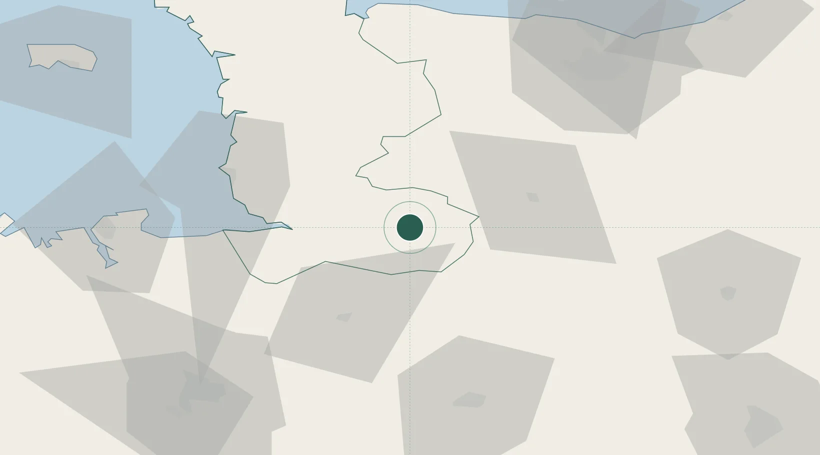
Hub Profile
Place type
Populated place
Region
Normandy
Population
1,076
Time zone
Europe/Paris
Elevation
153 m
Location
Nearby Logistics Neighbours
Cities
- 1Juvigny-le-Tertre5 km
- 2Barenton11 km
- 3Vengeons12 km
- 4Saint-Georges-de-Rouelley18 km
- 5Parigny18 km
Ports
- 1Granville51 km
- 2Port De Caen75 km
- 3Saint-Malo77 km
- 4Ouistreham88 km
- 5Saint Helier Harbour103 km
Airports
Trade Zones
- 1ZFU La Guérinière, La Grâce de Dieu72 km
- 2ZFU Hérouville-Saint-Clair76 km
- 3ZFU Alençon81 km
- 4ZFU Le Mans110 km
- 5ZFU Cherbourg-Octeville122 km
DatabookThe Record of Consolidated Knowledge
France beyond logistics?