Transport Functions
Multimodal
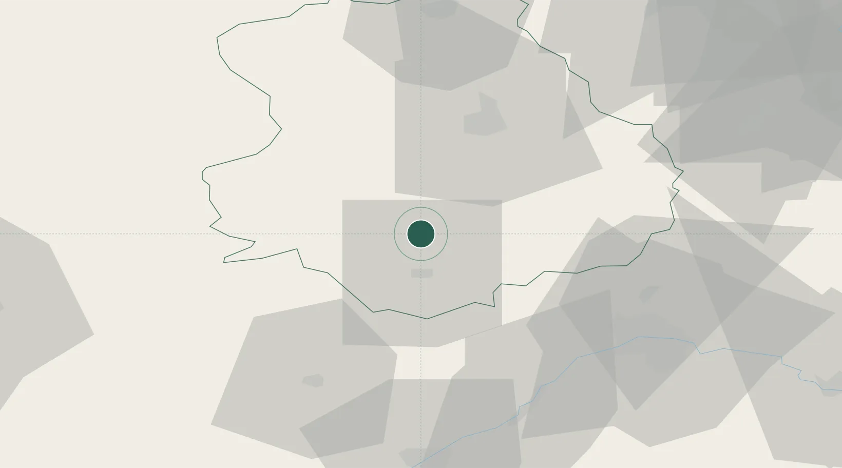
Hub Profile
Place type
Populated place
Region
Pays de la Loire
Population
7,912
Time zone
Europe/Paris
Elevation
55 m
Location
Nearby Logistics Neighbours
Cities
- 1Châteaudun11 km
- 2Fresnay-le-Comte19 km
- 3Luigny23 km
- 4Les Villages Voveens24 km
- 5Saint-Jean-Froidmentel25 km
Ports
- 1Port Of Rouen144 km
- 2Honfleur161 km
- 3Deauville162 km
- 4Port De Caen168 km
- 5Ouistreham170 km
Airports
Trade Zones
- 1ZFU Orléans50 km
- 2ZFU Dreux et Sainte-Gemme-Moronval65 km
- 3ZFU Blois65 km
- 4ZFU Trappes84 km
- 5ZFU Le Mans92 km
DatabookThe Record of Consolidated Knowledge
France beyond logistics?