Transport Functions
Multimodal
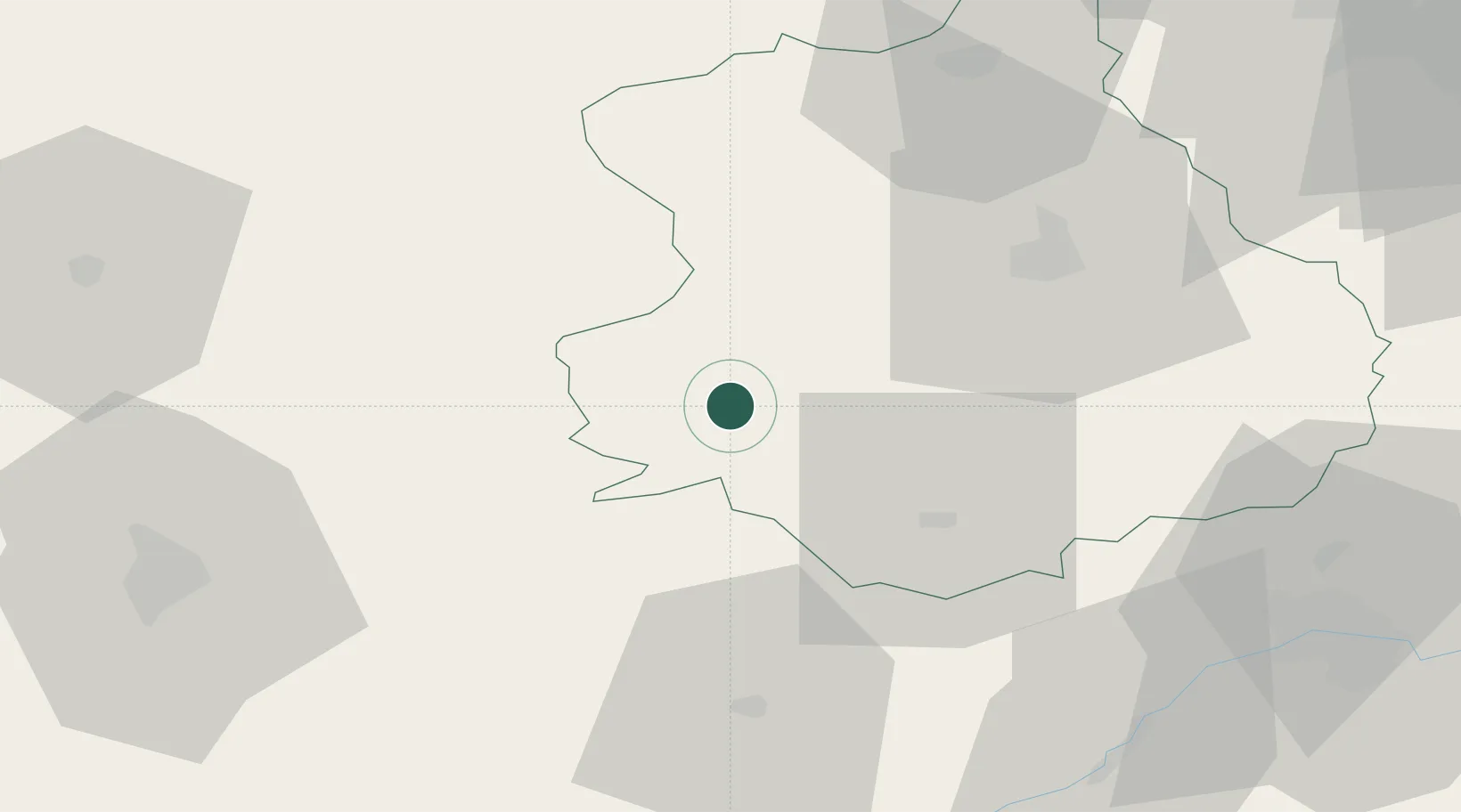
Hub Profile
Place type
Populated place
Region
Centre-Val de Loire
Population
385
Time zone
Europe/Paris
Elevation
237 m
Location
Nearby Logistics Neighbours
Cities
- 1Thiron-Gardais10 km
- 2Coulaines23 km
- 3La Rouge24 km
- 4Le Theil-sur-Huisne25 km
- 5L'Aiguillon-la-Rouge25 km
Ports
- 1Port Of Rouen135 km
- 2Deauville144 km
- 3Honfleur145 km
- 4Port De Caen147 km
- 5Ouistreham150 km
Airports
Trade Zones
- 1ZFU Dreux et Sainte-Gemme-Moronval63 km
- 2ZFU Orléans72 km
- 3ZFU Le Mans73 km
- 4ZFU Alençon74 km
- 5ZFU Blois75 km
DatabookThe Record of Consolidated Knowledge
France beyond logistics?