UN/LOCODE hub · France
FRVNE

Vannes

47.6500°, -2.7667°
54,020
Population
3
Transport functions

Transport Functions

Port
Rail
Airport
UN/LOCODE

Hub Profile

Place type
Provincial seat
GeoNames
Region
Brittany
GeoNames
Population
54,020
GeoNames
Time zone
Europe/Paris
GeoNames
Elevation
20 m
GeoNames

Location

Location of FRVNE
Natural Earth 10m (public domain) · Brittany · FRVNE · 47.65, -2.77GoogleOSMYandex

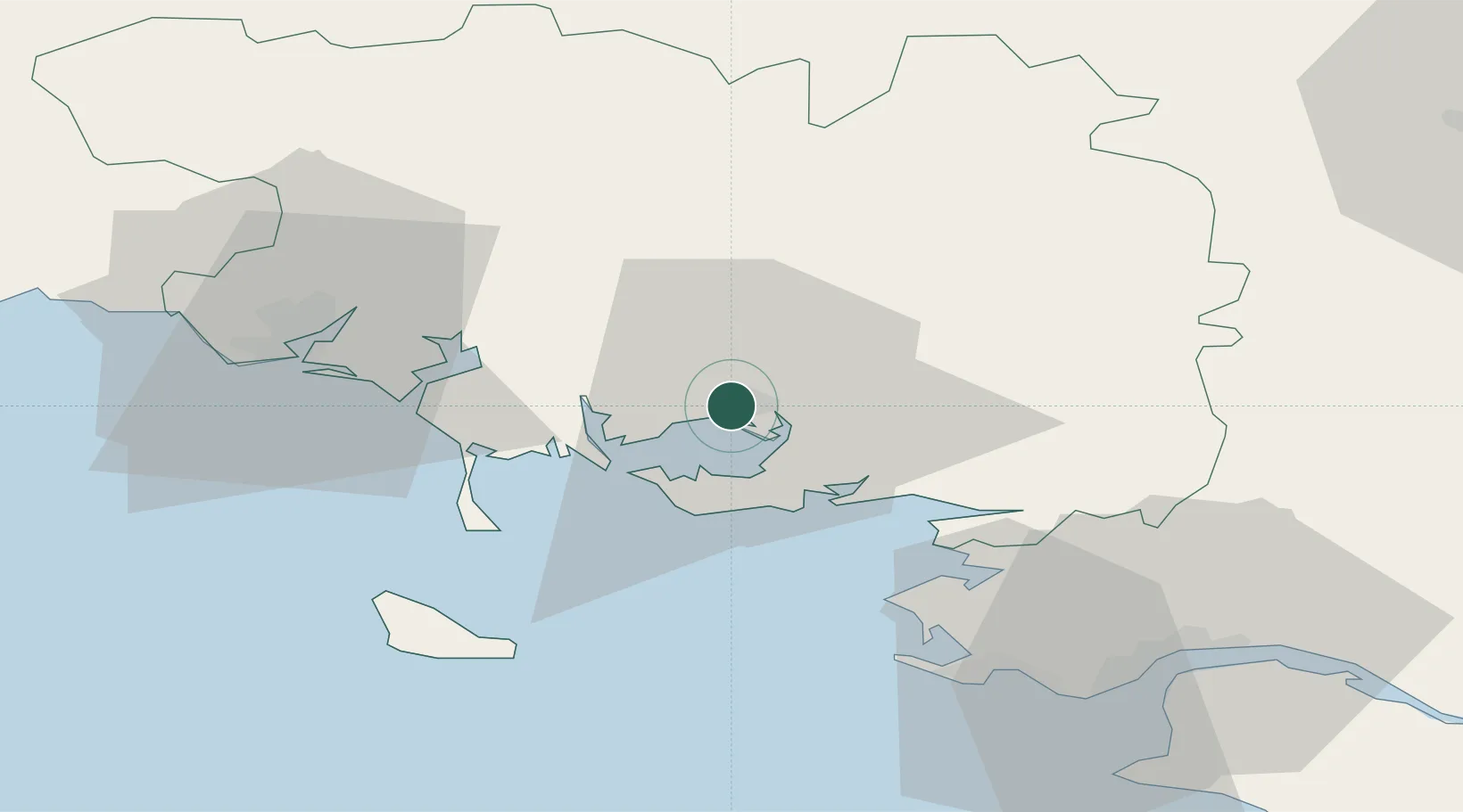
Nearby Logistics Neighbours

Cities
  1. 1Séné4 km
  2. 2Plescop6 km
  3. 3Le Moustoir7 km
  4. 4Treffléan12 km
  5. 5Baden12 km
Nearest neighbours — logibook spatial index (haversine) over the source coordinates
Ports
  1. 1Lorient45 km
  2. 2St Nazaire59 km
  3. 3Montoir62 km
  4. 4Donges65 km
  5. 5Concarneau89 km
Nearest neighbours — logibook spatial index (haversine) over the source coordinates
Airports
  1. 1Vannes-Meucon Airport9 km
  2. 2Aérodrome de Belle Île49 km
  3. 3La Baule-Escoublac Airport51 km
  4. 4Lorient South Brittany (Bretagne Sud) Airport52 km
  5. 5Saint-Nazaire-Montoir Airport60 km
Nearest neighbours — logibook spatial index (haversine) over the source coordinates
Trade Zones
  1. 1ZFU Saint-Nazaire56 km
  2. 2ZFU Nantes et Saint-Herblain93 km
  3. 3ZFU Angers164 km
  4. 4ZFU La Rochelle203 km
  5. 5ZFU Le Mans219 km
Nearest neighbours — logibook spatial index (haversine) over the source coordinates
DatabookThe Record of Consolidated Knowledge
France beyond logistics?
Browse databook

All Sources

LocationsUN/LOCODE
UN/LOCODE — free
LocationsGeoNames
CC BY 4.0
Portsthe NGA World Port Index
Public domain (US gov)
AirportsOurAirports
Public domain
Trade Zonesthe World Bank SEZ database
CC BY 4.0
Trade ZonesOpen Zone Map
CC BY
← France locations