Transport Functions
Port
Rail
Road
Hub Profile
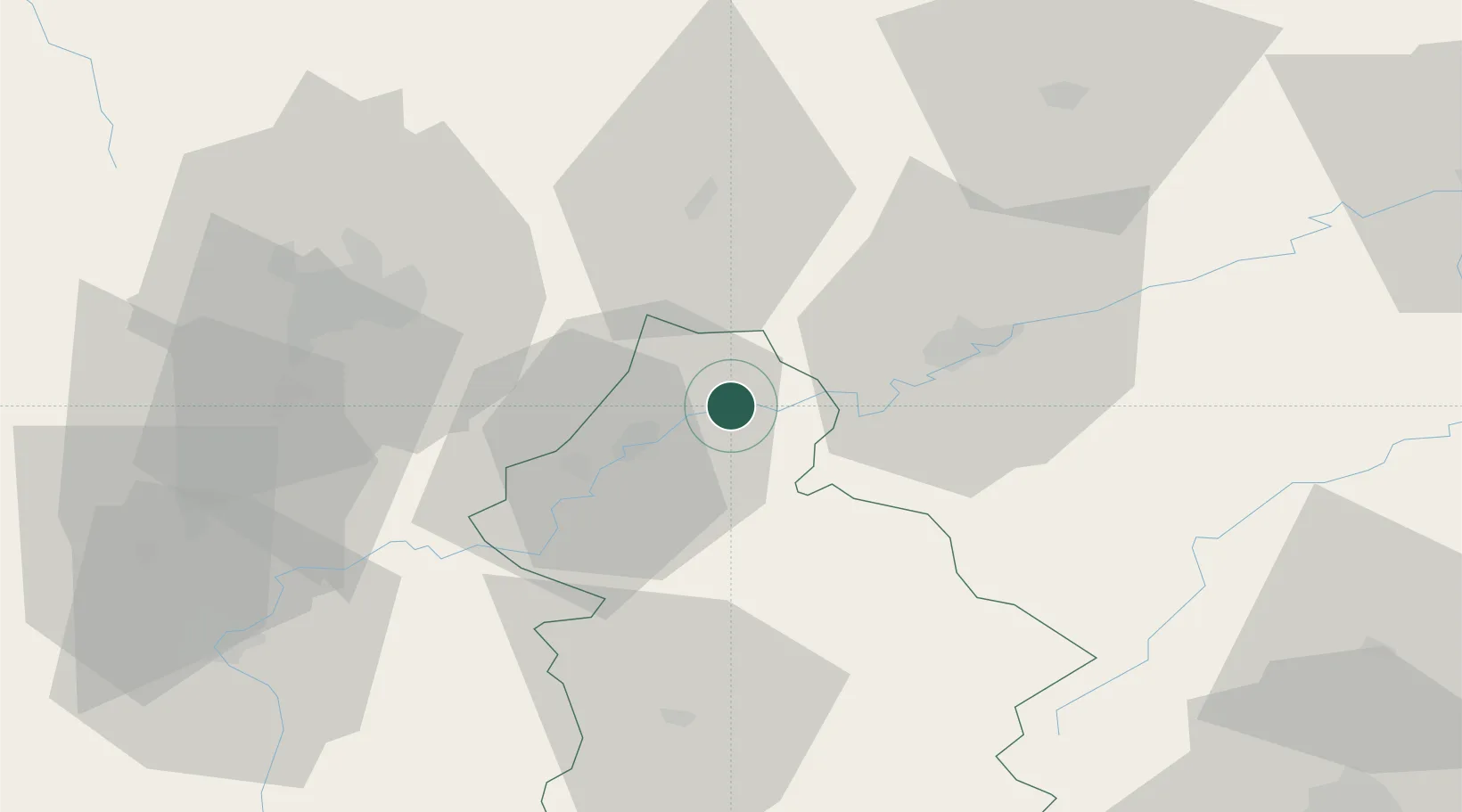
Place type
Populated place
Region
Bourgogne
Population
1,040
Time zone
Europe/Paris
Elevation
226 m
Location
Nearby Logistics Neighbours
Cities
- 1La Barre3 km
- 2Ranchot5 km
- 3Lavans-lès-Dole5 km
- 4Saint-Vit13 km
- 5Lantenne-Vertière14 km
Ports
- 1Savona385 km
- 2Rada Di Vado388 km
- 3Genova398 km
- 4Monaco404 km
- 5Nice404 km
Airports
Trade Zones
- 1ZFU Besancon29 km
- 2ZFU Chenôve53 km
- 3PESA - Port-Franc et Entrepôts de Lausanne-Chavornay SA85 km
- 4ZFU Montbéliard94 km
- 5ZFU Belfort103 km
DatabookThe Record of Consolidated Knowledge
France beyond logistics?