Transport Functions
Multimodal
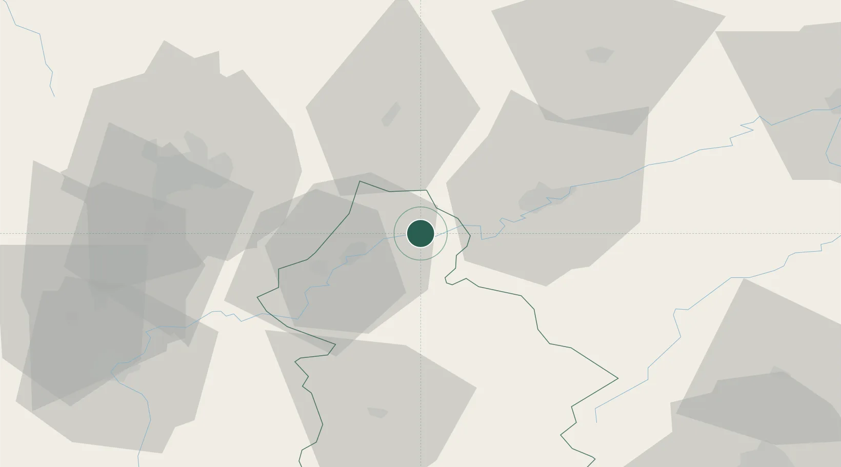
Hub Profile
Place type
Populated place
Region
Bourgogne
Population
232
Time zone
Europe/Paris
Elevation
241 m
Location
Nearby Logistics Neighbours
Cities
- 1Orchamps3 km
- 2Ranchot3 km
- 3Lavans-lès-Dole8 km
- 4Saint-Vit11 km
- 5Lantenne-Vertière12 km
Ports
- 1Savona383 km
- 2Rada Di Vado386 km
- 3Genova396 km
- 4Monaco403 km
- 5Nice403 km
Airports
Trade Zones
- 1ZFU Besancon26 km
- 2ZFU Chenôve55 km
- 3PESA - Port-Franc et Entrepôts de Lausanne-Chavornay SA83 km
- 4ZFU Montbéliard92 km
- 5ZFU Belfort101 km
DatabookThe Record of Consolidated Knowledge
France beyond logistics?