Transport Functions
Multimodal
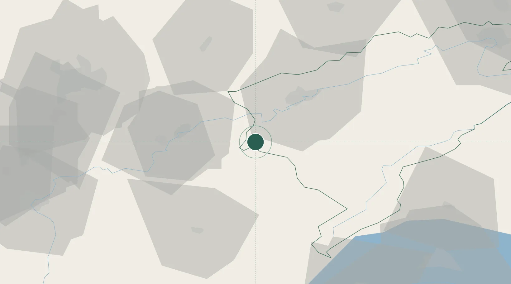
Hub Profile
Place type
Populated place
Region
Bourgogne
Population
577
Time zone
Europe/Paris
Elevation
251 m
Location
Nearby Logistics Neighbours
Cities
- 1Cramans7 km
- 2La Chapelle-sur-Furieuse7 km
- 3Quingey8 km
- 4Chissey-sur-Loue8 km
- 5Les Arsures11 km
Ports
- 1Savona369 km
- 2Rada Di Vado371 km
- 3Genova381 km
- 4Monaco389 km
- 5Nice390 km
Airports
- 1Dole Tavaux Airport30 km
- 2Dijon Longvic airport60 km
- 3Vesoul-Frotey Airfield72 km
- 4Les Eplatures Airport74 km
- 5Payerne Air Base87 km
Trade Zones
- 1ZFU Besancon25 km
- 2PESA - Port-Franc et Entrepôts de Lausanne-Chavornay SA68 km
- 3ZFU Chenôve69 km
- 4Port Franc Vevey87 km
- 5ZFU Montbéliard89 km
DatabookThe Record of Consolidated Knowledge
France beyond logistics?