UN/LOCODE hub · France
FRRG6
Beaulieu-sur-Layon
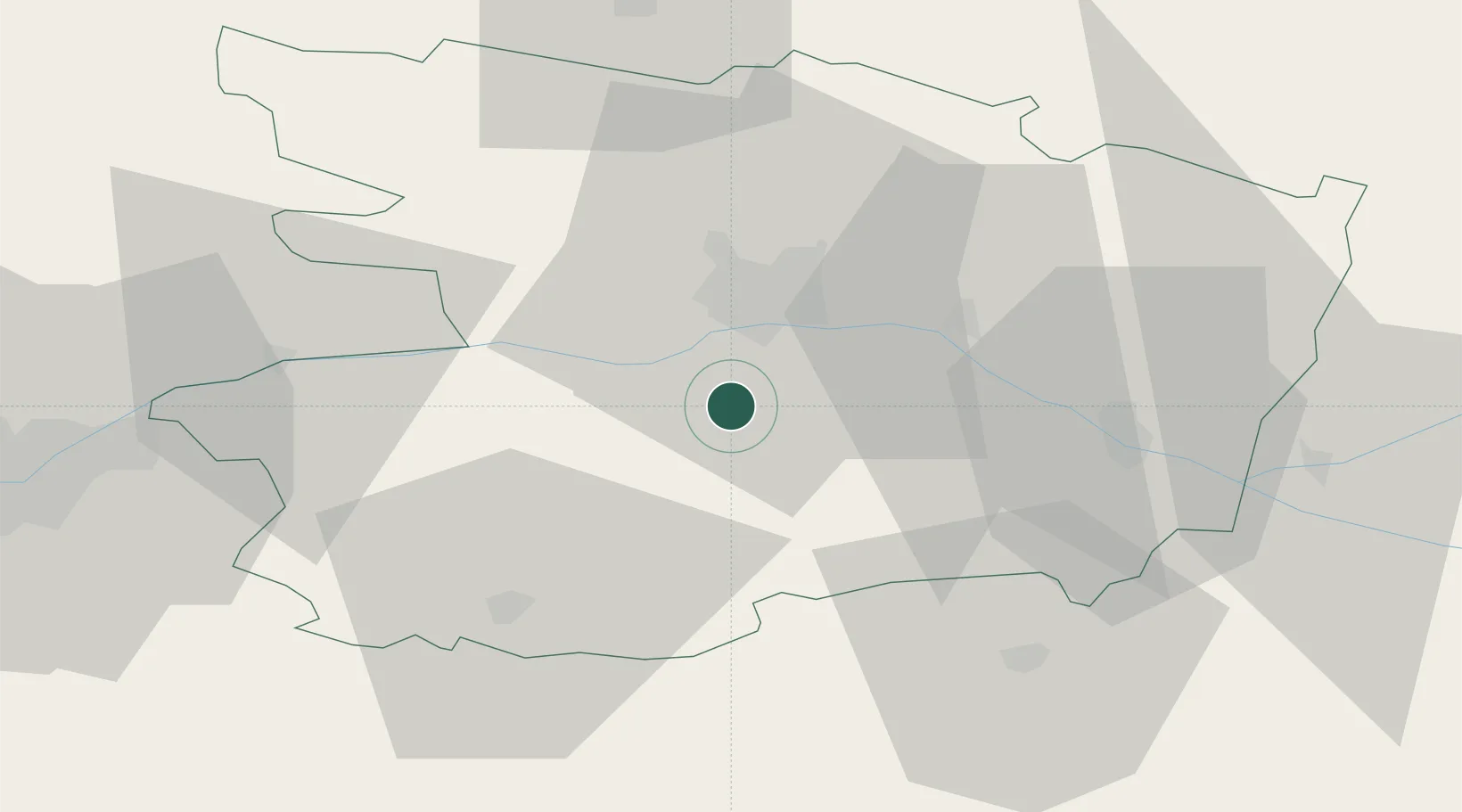
47.3167°, -0.5833°
1,126
Population
2
Transport functions
Transport Functions
Road
Multimodal
Hub Profile
Place type
Populated place
Region
Pays de la Loire
Population
1,126
Time zone
Europe/Paris
Elevation
88 m
Location
Nearby Logistics Neighbours
Cities
- 1Mozé-sur-Louet5 km
- 2Soulaines-sur-Aubance8 km
- 3Chanzeaux8 km
- 4Denée8 km
- 5Vauchrétien8 km
Ports
- 1Nantes75 km
- 2Donges112 km
- 3Montoir117 km
- 4St Nazaire122 km
- 5Les Sables D' Olonne130 km
Airports
Trade Zones
- 1ZFU Angers18 km
- 2ZFU Nantes et Saint-Herblain85 km
- 3ZFU Le Mans91 km
- 4ZFU Saint-Nazaire128 km
- 5ZFU Alençon133 km
DatabookThe Record of Consolidated Knowledge
France beyond logistics?