Transport Functions
Road
Multimodal
Hub Profile
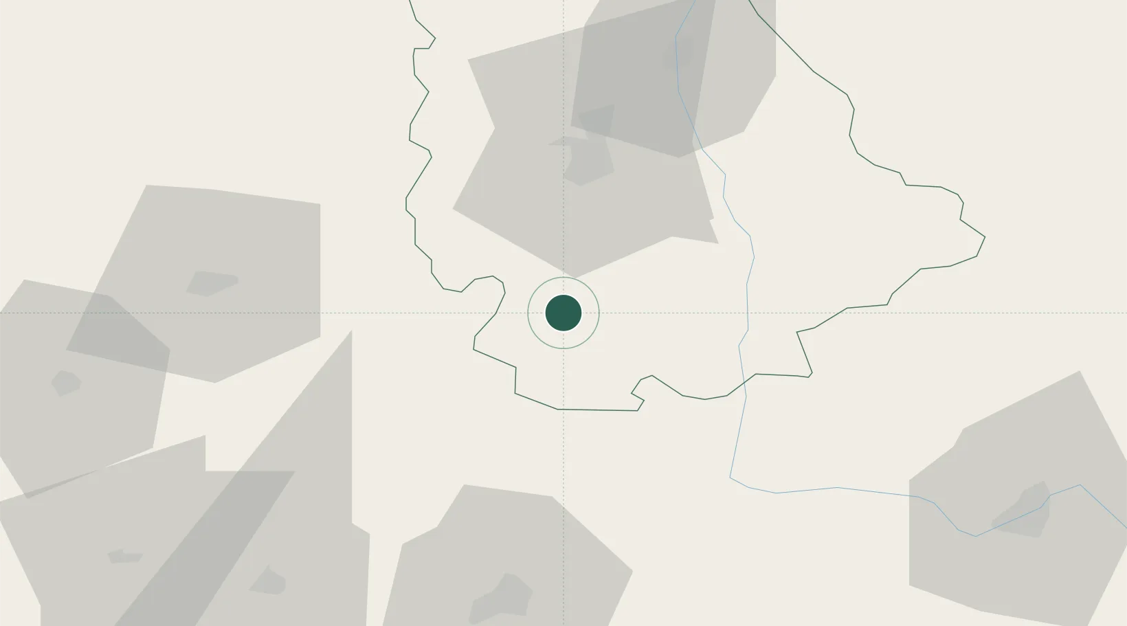
Place type
Populated place
Region
Nouvelle-Aquitaine
Population
987
Time zone
Europe/Paris
Elevation
144 m
Location
Nearby Logistics Neighbours
Cities
- 1Payré11 km
- 2Civray13 km
- 3Saint-Saviol16 km
- 4Lusignan23 km
- 5Le Vigeant27 km
Ports
- 1Tonnay Charente100 km
- 2Rochefort103 km
- 3La Rochelle112 km
- 4La Pallice117 km
- 5Le Verdon131 km
Airports
Trade Zones
- 1ZFU La Rochelle117 km
- 2ZFU Angers151 km
- 3ZFU Blois164 km
- 4Port de Bordeaux164 km
- 5ZFU Hauts de Garonne174 km
DatabookThe Record of Consolidated Knowledge
France beyond logistics?