Transport Functions
Road
Multimodal
Hub Profile
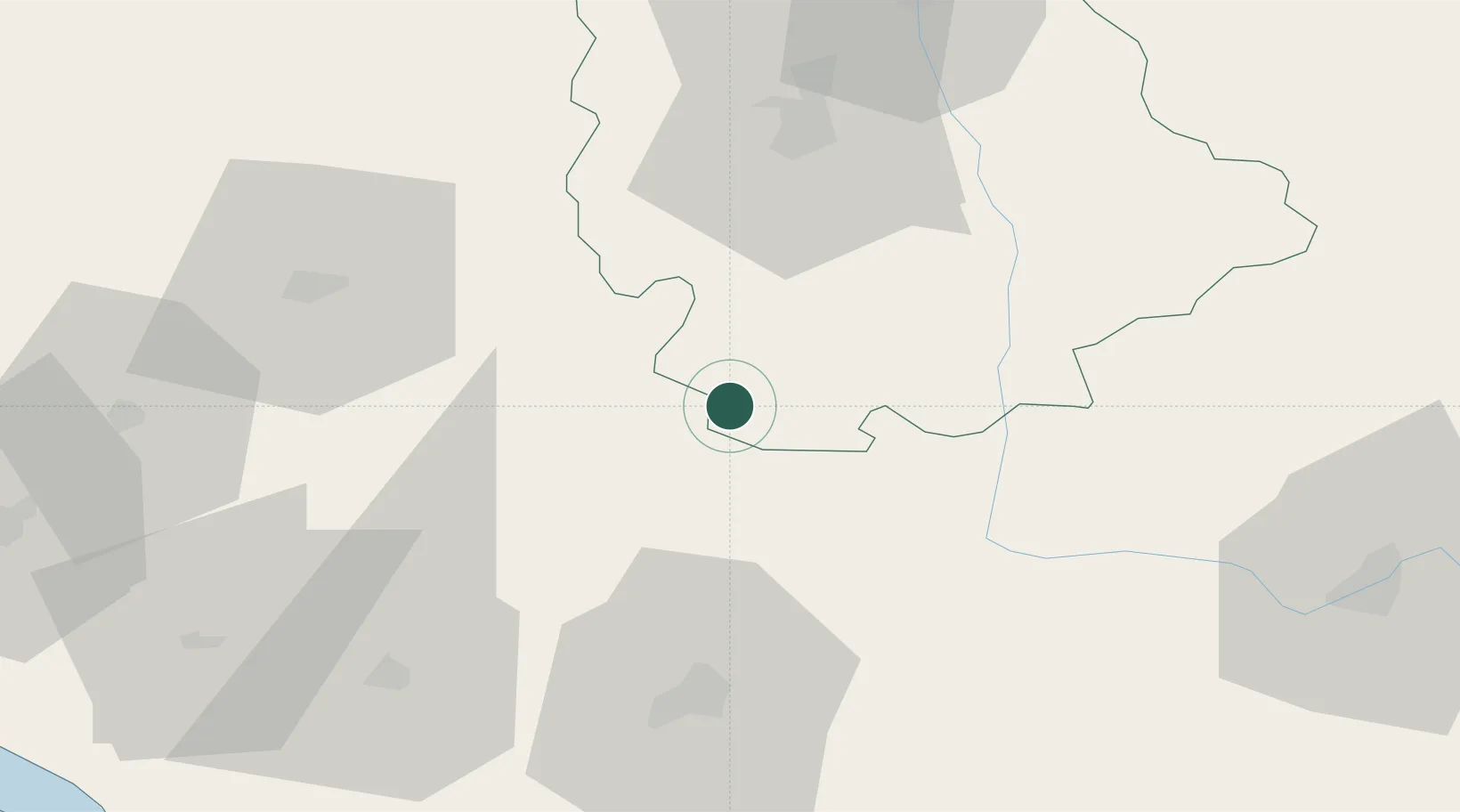
Place type
Populated place
Region
Nouvelle-Aquitaine
Population
498
Time zone
Europe/Paris
Elevation
135 m
Location
Nearby Logistics Neighbours
Cities
- 1Civray4 km
- 2Ruffec13 km
- 3Romagne16 km
- 4Payré22 km
- 5Availles-Limouzine32 km
Ports
- 1Tonnay Charente90 km
- 2Rochefort94 km
- 3La Rochelle107 km
- 4La Pallice112 km
- 5Le Verdon119 km
Airports
Trade Zones
- 1ZFU La Rochelle111 km
- 2Port de Bordeaux149 km
- 3ZFU Hauts de Garonne158 km
- 4ZFU Angers163 km
- 5ZFU Blois179 km
DatabookThe Record of Consolidated Knowledge
France beyond logistics?