Transport Functions
Rail
Road
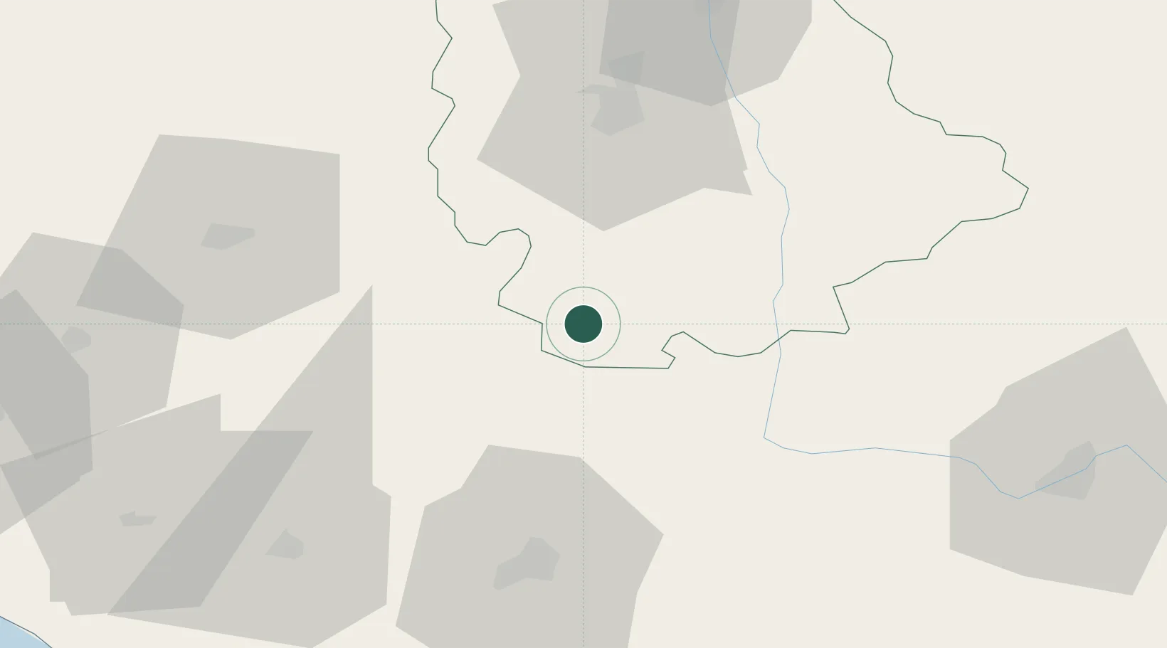
Hub Profile
Place type
Populated place
Region
Nouvelle-Aquitaine
Population
3,056
Time zone
Europe/Paris
Elevation
117 m
Location
Nearby Logistics Neighbours
Cities
- 1Saint-Saviol4 km
- 2Romagne13 km
- 3Ruffec16 km
- 4Payré21 km
- 5Availles-Limouzine29 km
Ports
- 1Tonnay Charente95 km
- 2Rochefort98 km
- 3La Rochelle110 km
- 4La Pallice116 km
- 5Le Verdon123 km
Airports
Trade Zones
- 1ZFU La Rochelle115 km
- 2Port de Bordeaux152 km
- 3ZFU Hauts de Garonne162 km
- 4ZFU Angers163 km
- 5ZFU Blois176 km
DatabookThe Record of Consolidated Knowledge
France beyond logistics?