Transport Functions
Road
Multimodal
Hub Profile
Place type
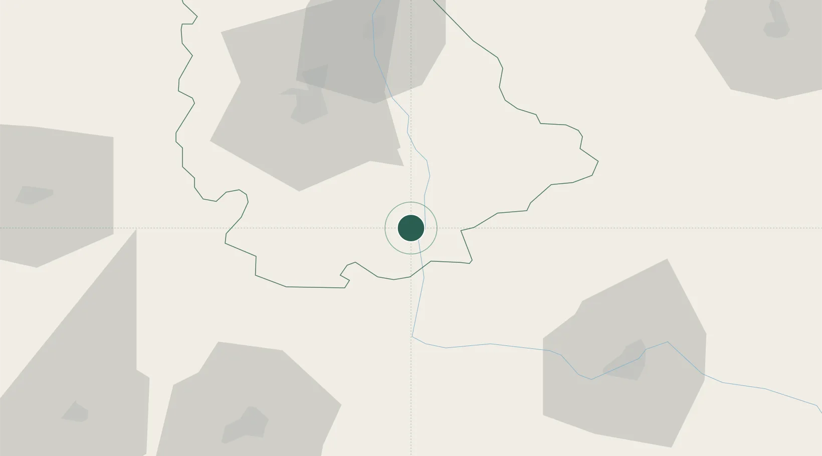
Populated place
Region
Nouvelle-Aquitaine
Population
777
Time zone
Europe/Paris
Elevation
150 m
Location
Nearby Logistics Neighbours
Cities
- 1L'Isle-Jourdain3 km
- 2Availles-Limouzine13 km
- 3Verrières21 km
- 4Mézières-sur-Issoire25 km
- 5Romagne27 km
Ports
- 1Tonnay Charente124 km
- 2Rochefort128 km
- 3La Rochelle139 km
- 4La Pallice144 km
- 5Le Verdon152 km
Airports
Trade Zones
- 1ZFU La Rochelle144 km
- 2ZFU Blois157 km
- 3ZFU Bourges159 km
- 4ZFU Angers168 km
- 5Port de Bordeaux174 km
DatabookThe Record of Consolidated Knowledge
France beyond logistics?