Transport Functions
Rail
Road
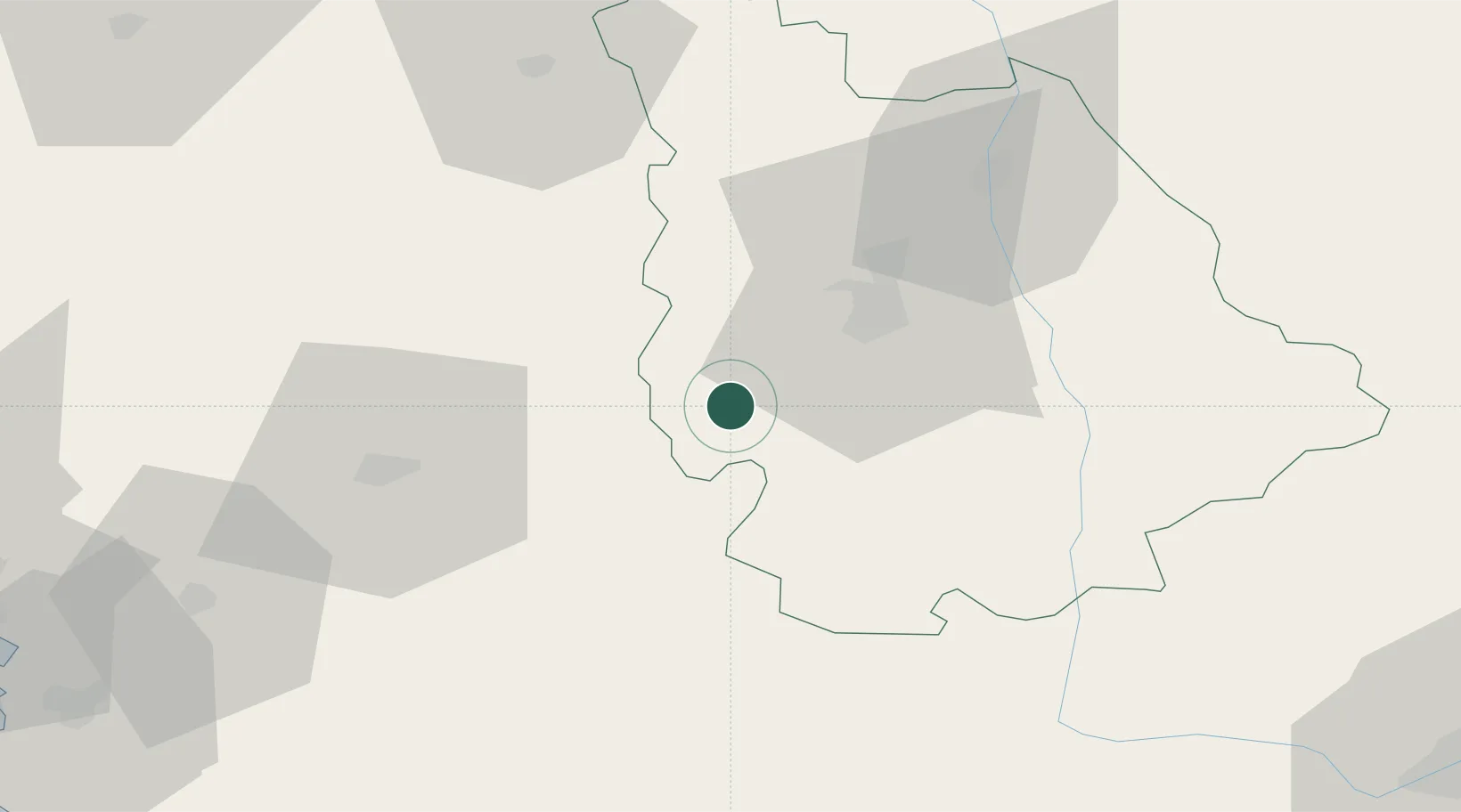
Hub Profile
Place type
Populated place
Region
Nouvelle-Aquitaine
Population
2,871
Time zone
Europe/Paris
Elevation
137 m
Location
Nearby Logistics Neighbours
Cities
- 1Payré13 km
- 2Romagne23 km
- 3Poitiers24 km
- 4Saint-Maixent-l'École24 km
- 5Savigny-Lévescault30 km
Ports
- 1Tonnay Charente96 km
- 2Rochefort99 km
- 3La Rochelle102 km
- 4La Pallice107 km
- 5Le Verdon133 km
Airports
Trade Zones
- 1ZFU La Rochelle106 km
- 2ZFU Angers129 km
- 3ZFU Blois155 km
- 4ZFU Nantes et Saint-Herblain164 km
- 5ZFU Le Mans172 km
DatabookThe Record of Consolidated Knowledge
France beyond logistics?