Transport Functions
Port
Rail
Hub Profile
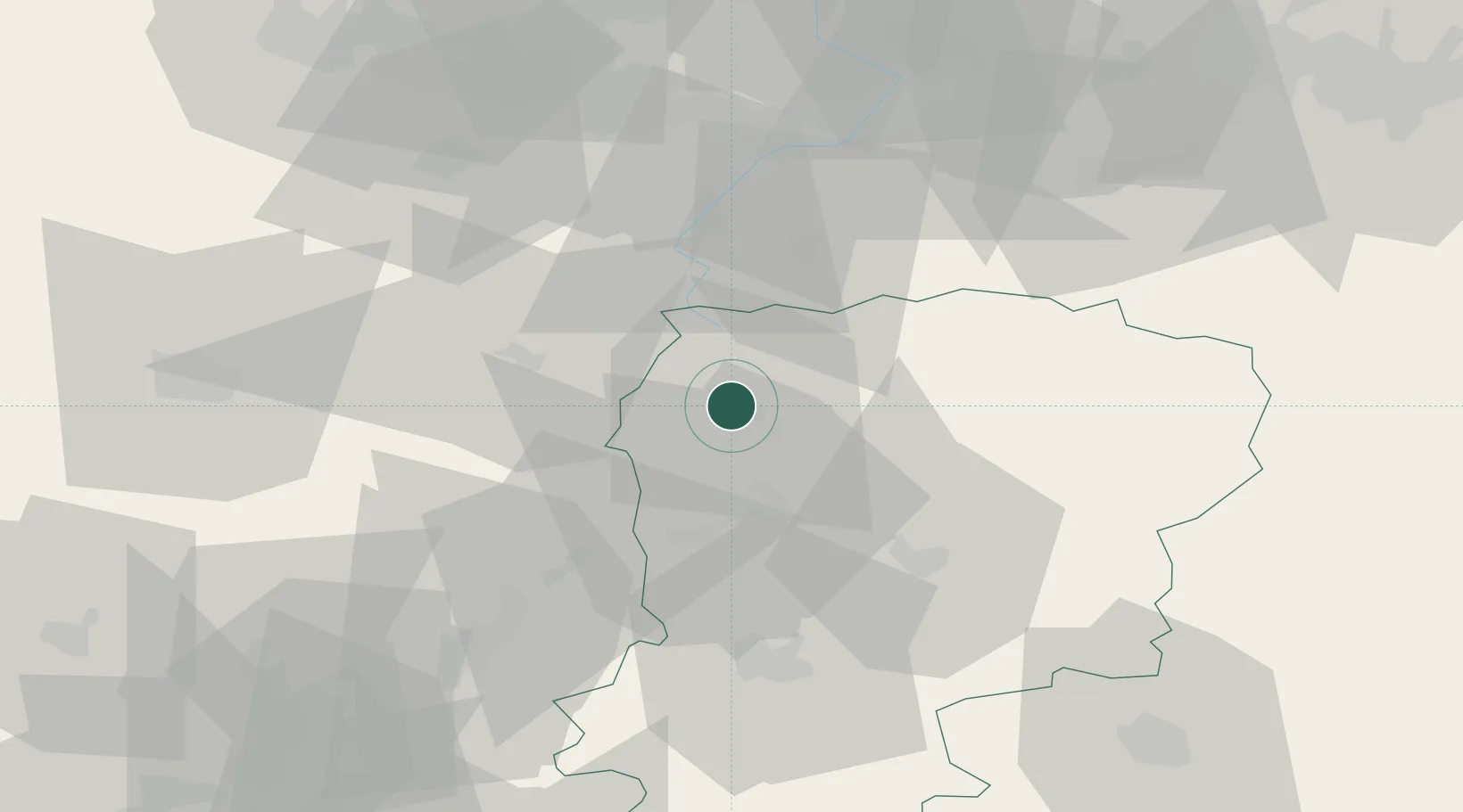
Place type
District seat
Region
Hauts-de-France
Population
55,407
Time zone
Europe/Paris
Elevation
106 m
Location
Nearby Logistics Neighbours
Cities
- 1Harly3 km
- 2Lesdins4 km
- 3Holnon5 km
- 4Dallon5 km
- 5Essigny-le-Grand9 km
Ports
- 1Saint-Valery-Sur-Somme125 km
- 2Bruxelles136 km
- 3Ghent139 km
- 4Le Treport139 km
- 5Nieuwpoort148 km
Airports
- 1Péronne Saint-Quentin Airfield18 km
- 2Valenciennes-Denain Airfield55 km
- 3Amiens Glisy Airfield64 km
- 4Lille Airport81 km
- 5Creil Air Base86 km
DatabookThe Record of Consolidated Knowledge
France beyond logistics?