Transport Functions
Multimodal
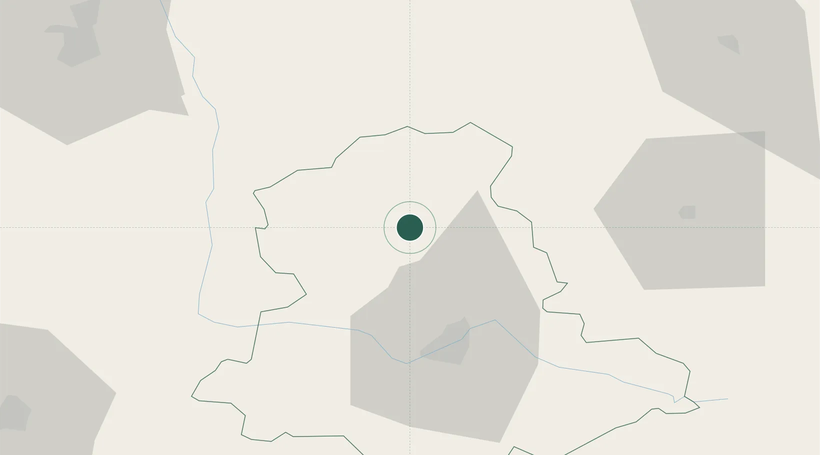
Hub Profile
Place type
Populated place
Region
Nouvelle-Aquitaine
Population
536
Time zone
Europe/Paris
Elevation
228 m
Location
Nearby Logistics Neighbours
Cities
- 1Nantiat13 km
- 2Bessines-sur-Gartempe15 km
- 3Mézières-sur-Issoire21 km
- 4Ambazac26 km
- 5Port-des-Barques29 km
Ports
- 1Tonnay Charente162 km
- 2Rochefort166 km
- 3La Rochelle180 km
- 4Blaye182 km
- 5Ambes182 km
Airports
- 1Limoges Airport30 km
- 2Poitiers-Biard Airport84 km
- 3Angoulême Brie-Champniers airport87 km
- 4Châteauroux Déols airport91 km
- 5Montluçon-Guéret Airport91 km
Trade Zones
- 1ZFU Bourges137 km
- 2ZFU Clermont-Ferrand151 km
- 3ZFU Blois161 km
- 4ZFU La Rochelle185 km
- 5Port de Bordeaux191 km
DatabookThe Record of Consolidated Knowledge
France beyond logistics?