UN/LOCODE hub · France
FRBSJ
Bessines-sur-Gartempe
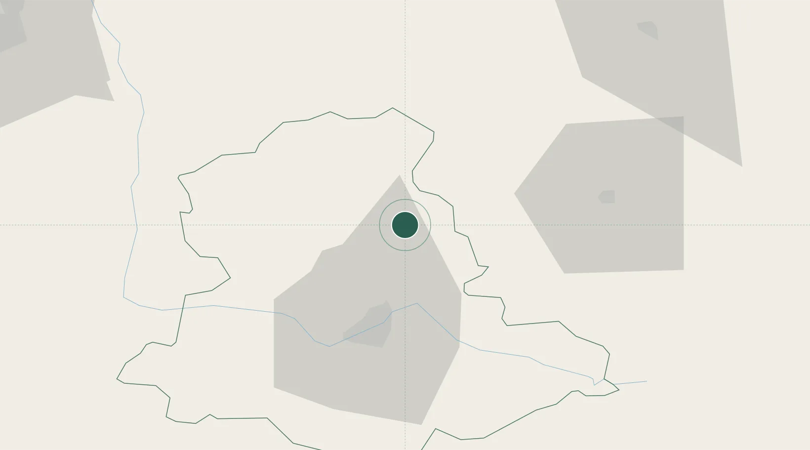
46.1000°, 1.3667°
2,836
Population
2
Transport functions
Transport Functions
Road
Multimodal
Hub Profile
Place type
Populated place
Region
Nouvelle-Aquitaine
Population
2,836
Time zone
Europe/Paris
Elevation
322 m
Location
Nearby Logistics Neighbours
Cities
- 1Rancon15 km
- 2Ambazac17 km
- 3Nantiat17 km
- 4Limoges31 km
- 5Dun-le-Palestel32 km
Ports
- 1Tonnay Charente176 km
- 2Rochefort180 km
- 3Ambes191 km
- 4Blaye191 km
- 5Pauillac193 km
Airports
- 1Limoges Airport30 km
- 2Montluçon-Guéret Airport78 km
- 3Châteauroux Déols airport89 km
- 4Angoulême Brie-Champniers airport98 km
- 5Poitiers-Biard Airport98 km
Trade Zones
- 1ZFU Bourges131 km
- 2ZFU Clermont-Ferrand137 km
- 3ZFU Blois165 km
- 4Port de Bordeaux199 km
- 5ZFU La Rochelle199 km
DatabookThe Record of Consolidated Knowledge
France beyond logistics?