Transport Functions
Port
Road
Hub Profile
Place type
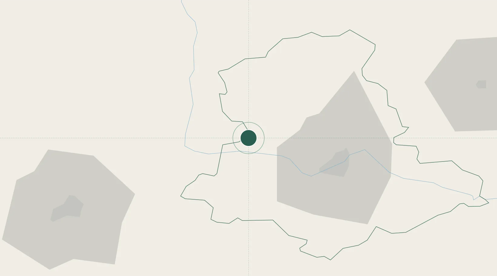
Populated place
Region
Nouvelle-Aquitaine
Population
1,642
Time zone
Europe/Paris
Elevation
2 m
Location
Nearby Logistics Neighbours
Cities
- 1Mézières-sur-Issoire17 km
- 2Chabanais18 km
- 3Verneuil-sur-Vienne20 km
- 4Saint-Laurent-sur-Gorre21 km
- 5Nantiat22 km
Ports
- 1Tonnay Charente141 km
- 2Rochefort144 km
- 3Blaye153 km
- 4Ambes154 km
- 5Pauillac154 km
Airports
Trade Zones
- 1Port de Bordeaux162 km
- 2ZFU Bourges166 km
- 3ZFU La Rochelle166 km
- 4ZFU Clermont-Ferrand168 km
- 5ZFU Hauts de Garonne171 km
DatabookThe Record of Consolidated Knowledge
France beyond logistics?