Transport Functions
Multimodal
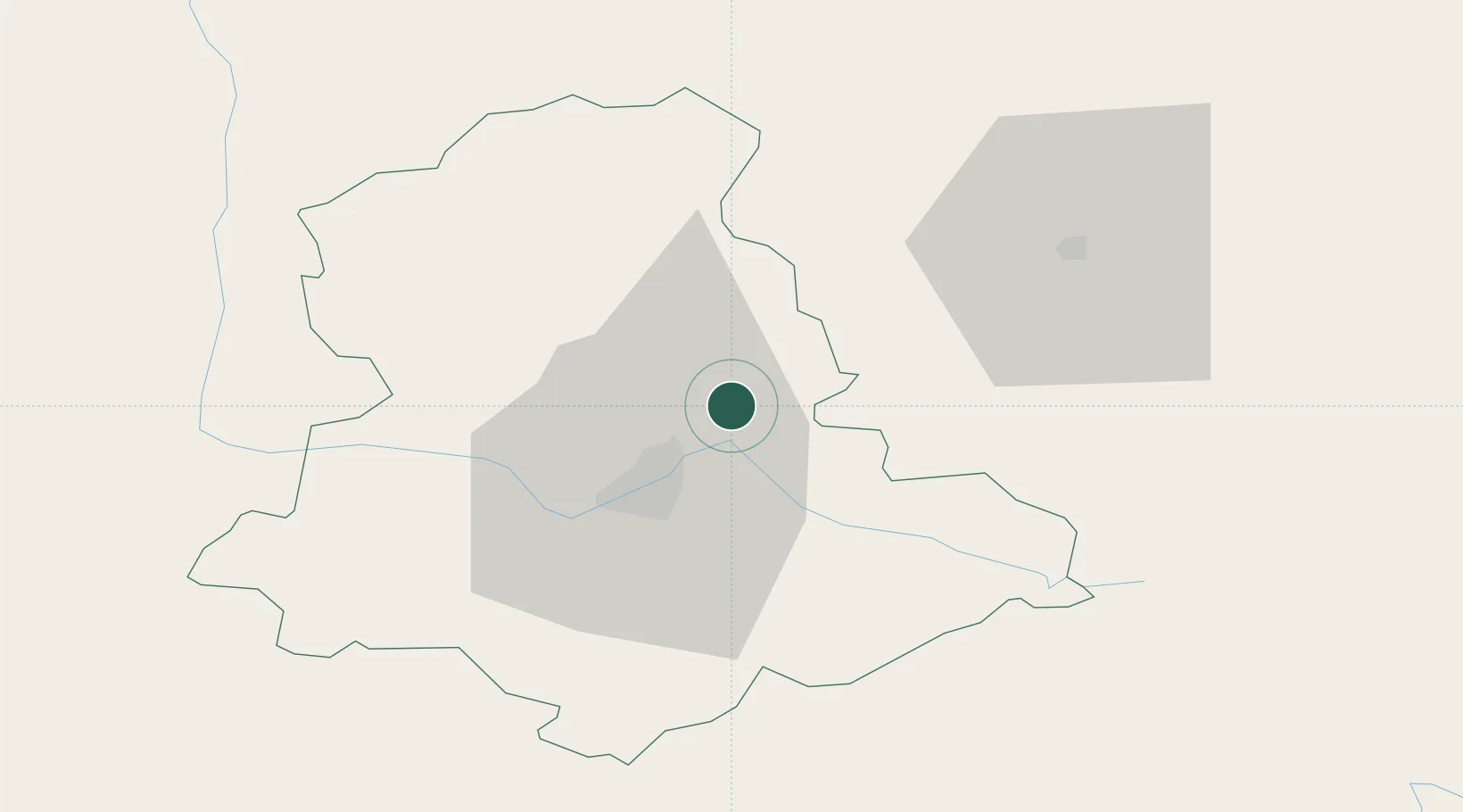
Hub Profile
Place type
Populated place
Region
Nouvelle-Aquitaine
Population
5,004
Time zone
Europe/Paris
Elevation
375 m
Location
Nearby Logistics Neighbours
Cities
- 1Limoges17 km
- 2Bessines-sur-Gartempe17 km
- 3Nantiat18 km
- 4Isle22 km
- 5Verneuil-sur-Vienne23 km
Ports
- 1Tonnay Charente178 km
- 2Rochefort182 km
- 3Ambes183 km
- 4Blaye185 km
- 5Pauillac187 km
Airports
- 1Limoges Airport20 km
- 2Montluçon-Guéret Airport80 km
- 3Angoulême Brie-Champniers airport95 km
- 4Périgueux-Bassillac Airport95 km
- 5Brive Souillac airport101 km
Trade Zones
- 1ZFU Clermont-Ferrand131 km
- 2ZFU Bourges144 km
- 3ZFU Blois182 km
- 4Port de Bordeaux190 km
- 5ZFU Hauts de Garonne198 km
DatabookThe Record of Consolidated Knowledge
France beyond logistics?