UN/LOCODE hub · France
FRZZM
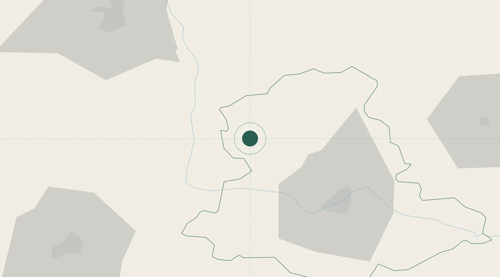
Mézières-sur-Issoire
46.1000°, 0.9167°
911
Population
2
Transport functions
Transport Functions
Road
Multimodal
Hub Profile
Place type
Populated place
Region
Nouvelle-Aquitaine
Population
911
Time zone
Europe/Paris
Elevation
249 m
Location
Nearby Logistics Neighbours
Cities
- 1Port-des-Barques17 km
- 2Availles-Limouzine21 km
- 3Rancon21 km
- 4Nantiat23 km
- 5L'Isle-Jourdain23 km
Ports
- 1Tonnay Charente142 km
- 2Rochefort145 km
- 3La Rochelle159 km
- 4Blaye164 km
- 5Pauillac164 km
Airports
- 1Limoges Airport33 km
- 2Angoulême Brie-Champniers airport68 km
- 3Poitiers-Biard Airport72 km
- 4Périgueux-Bassillac Airport101 km
- 5Niort - Marais Poitevin Airport104 km
Trade Zones
- 1ZFU Bourges153 km
- 2ZFU La Rochelle164 km
- 3ZFU Blois167 km
- 4ZFU Clermont-Ferrand171 km
- 5Port de Bordeaux174 km
DatabookThe Record of Consolidated Knowledge
France beyond logistics?