Transport Functions
Rail
Road
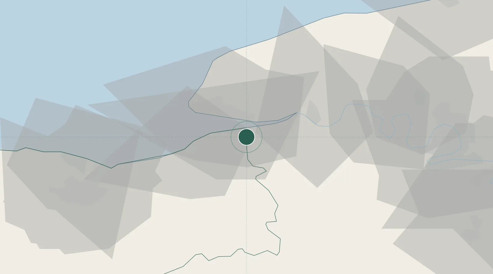
Hub Profile
Place type
Populated place
Region
Normandy
Population
1,094
Time zone
Europe/Paris
Elevation
106 m
Location
Nearby Logistics Neighbours
Cities
- 1Honfleur5 km
- 2Berville-sur-Mer6 km
- 3Gonfreville-l'Orcher10 km
- 4Le Havre11 km
- 5Villerville12 km
Ports
- 1Honfleur6 km
- 2Deauville16 km
- 3Port Of Le Havre16 km
- 4Fecamp41 km
- 5Ouistreham42 km
Airports
Trade Zones
- 1ZFU Le Havre17 km
- 2ZFU Hérouville-Saint-Clair52 km
- 3ZFU La Guérinière, La Grâce de Dieu57 km
- 4ZFU Rouen Bihorel58 km
- 5ZFU Évreux75 km
DatabookThe Record of Consolidated Knowledge
France beyond logistics?