Transport Functions
Port
Road
Hub Profile
Place type
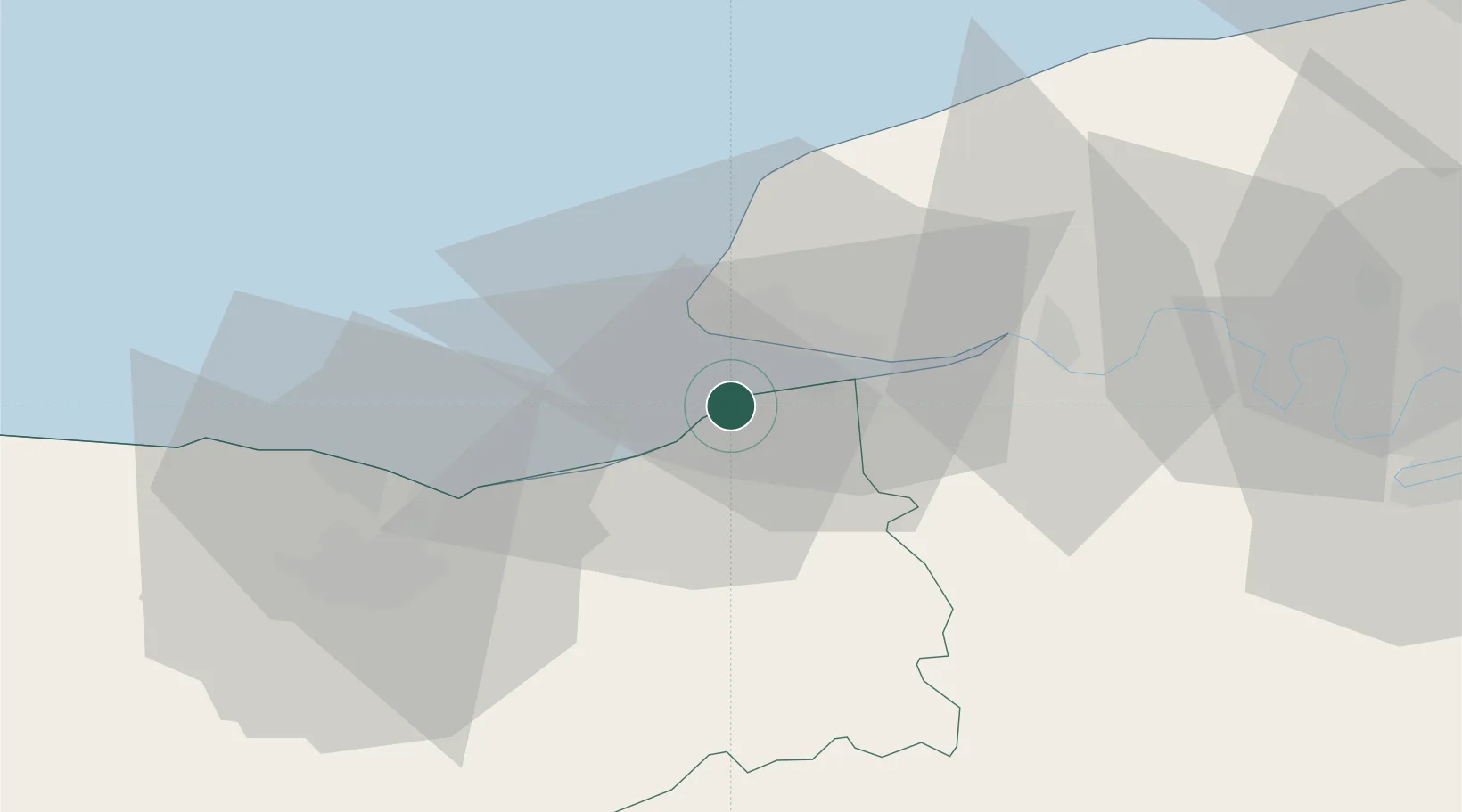
Populated place
Region
Normandy
Population
714
Time zone
Europe/Paris
Elevation
28 m
Location
Nearby Logistics Neighbours
Cities
- 1Trouville-sur-Mer5 km
- 2Deauville6 km
- 3Honfleur8 km
- 4Tourgéville10 km
- 5Le Havre11 km
Ports
- 1Deauville5 km
- 2Honfleur6 km
- 3Port Of Le Havre9 km
- 4Ouistreham31 km
- 5Port De Caen43 km
Airports
Trade Zones
- 1ZFU Le Havre11 km
- 2ZFU Hérouville-Saint-Clair41 km
- 3ZFU La Guérinière, La Grâce de Dieu46 km
- 4ZFU Rouen Bihorel70 km
- 5ZFU Évreux85 km
DatabookThe Record of Consolidated Knowledge
France beyond logistics?