Transport Functions
Port
Fixed Transport
Hub Profile
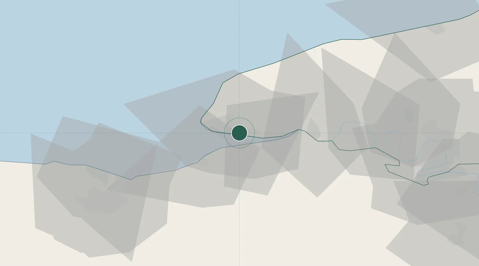
Place type
Populated place
Region
Normandy
Time zone
Europe/Paris
Elevation
96 m
Logistics facilities
1
Location
Nearby Logistics Neighbours
Cities
- 1Le Havre2 km
- 2Harfleur4 km
- 3Honfleur7 km
- 4Ablon10 km
- 5Berville-sur-Mer10 km
Ports
- 1Honfleur7 km
- 2Port Of Le Havre9 km
- 3Deauville17 km
- 4Fecamp33 km
- 5Ouistreham42 km
Airports
Trade Zones
- 1ZFU Le Havre9 km
- 2ZFU Hérouville-Saint-Clair53 km
- 3ZFU La Guérinière, La Grâce de Dieu57 km
- 4ZFU Rouen Bihorel62 km
- 5ZFU Évreux83 km
DatabookThe Record of Consolidated Knowledge
France beyond logistics?