UN/LOCODE hub · France
FRLEH
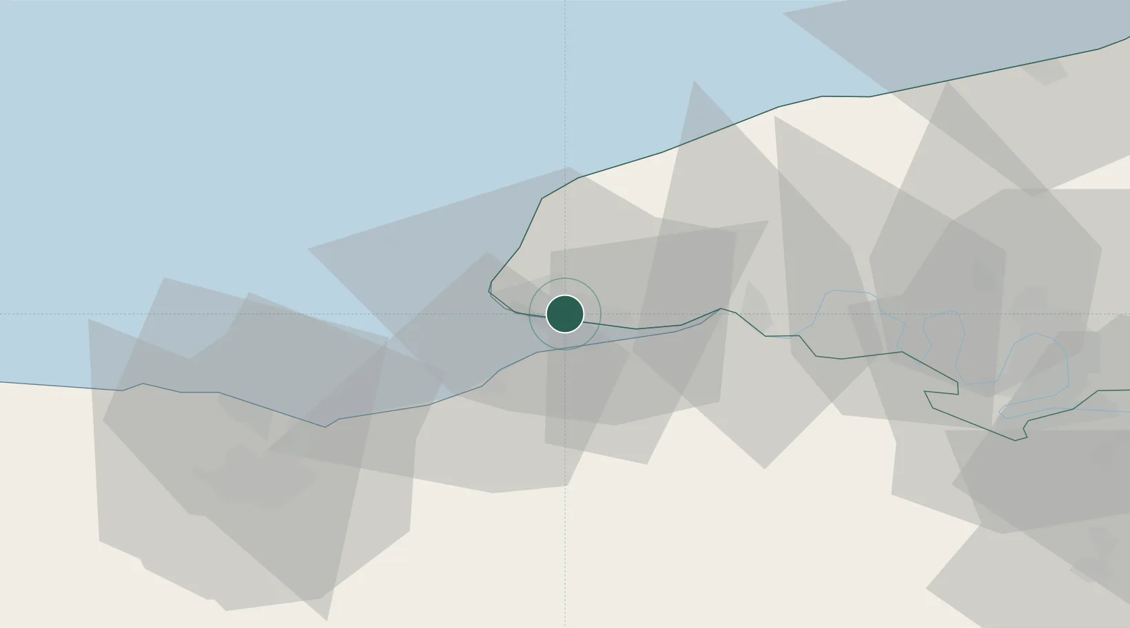
Le Havre
49.4840°, 0.2126°
185,972
Population
5
Transport functions
4
Container terminals
Transport Functions
Port
Rail
Road
Airport
Postal
Hub Profile
Place type
District seat
Region
Normandy
Population
185,972
Time zone
Europe/Paris
Elevation
5 m
Logistics facilities
32
Container terminals
4
Location
Nearby Logistics Neighbours
Cities
- 1Harfleur2 km
- 2Gonfreville-l'Orcher2 km
- 3Honfleur8 km
- 4Villerville11 km
- 5Rolleville11 km
Ports
- 1Honfleur8 km
- 2Deauville16 km
- 3Fecamp33 km
- 4Ouistreham40 km
- 5Port De Caen53 km
Airports
Trade Zones
- 1ZFU Le Havre7 km
- 2ZFU Hérouville-Saint-Clair51 km
- 3ZFU La Guérinière, La Grâce de Dieu56 km
- 4ZFU Rouen Bihorel64 km
- 5ZFU Évreux85 km
DatabookThe Record of Consolidated Knowledge
France beyond logistics?