Transport Functions
Port
Hub Profile
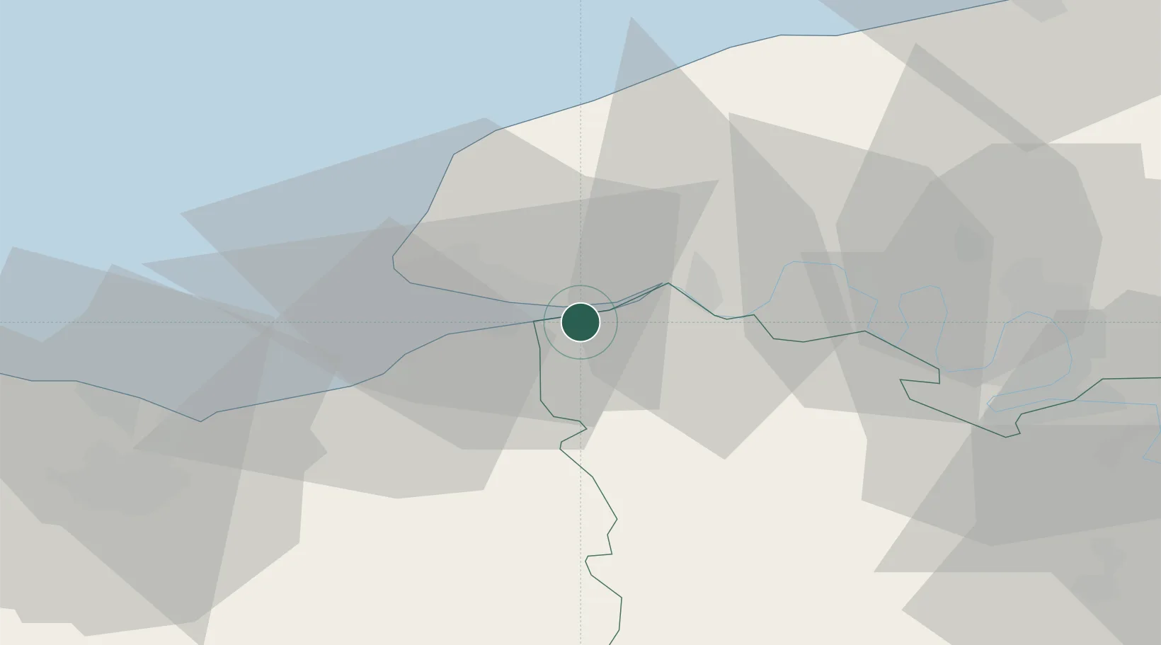
Place type
Populated place
Region
Normandy
Population
492
Time zone
Europe/Paris
Elevation
20 m
Location
Nearby Logistics Neighbours
Cities
- 1Ablon6 km
- 2La Cerlangue8 km
- 3Honfleur10 km
- 4Gonfreville-l'Orcher10 km
- 5La Remuée11 km
Ports
- 1Honfleur11 km
- 2Port Of Le Havre19 km
- 3Deauville22 km
- 4Fecamp37 km
- 5Ouistreham48 km
Airports
Trade Zones
- 1ZFU Le Havre19 km
- 2ZFU Rouen Bihorel53 km
- 3ZFU Hérouville-Saint-Clair58 km
- 4ZFU La Guérinière, La Grâce de Dieu63 km
- 5ZFU Évreux73 km
DatabookThe Record of Consolidated Knowledge
France beyond logistics?