Transport Functions
Port
Road
Hub Profile
Region
27
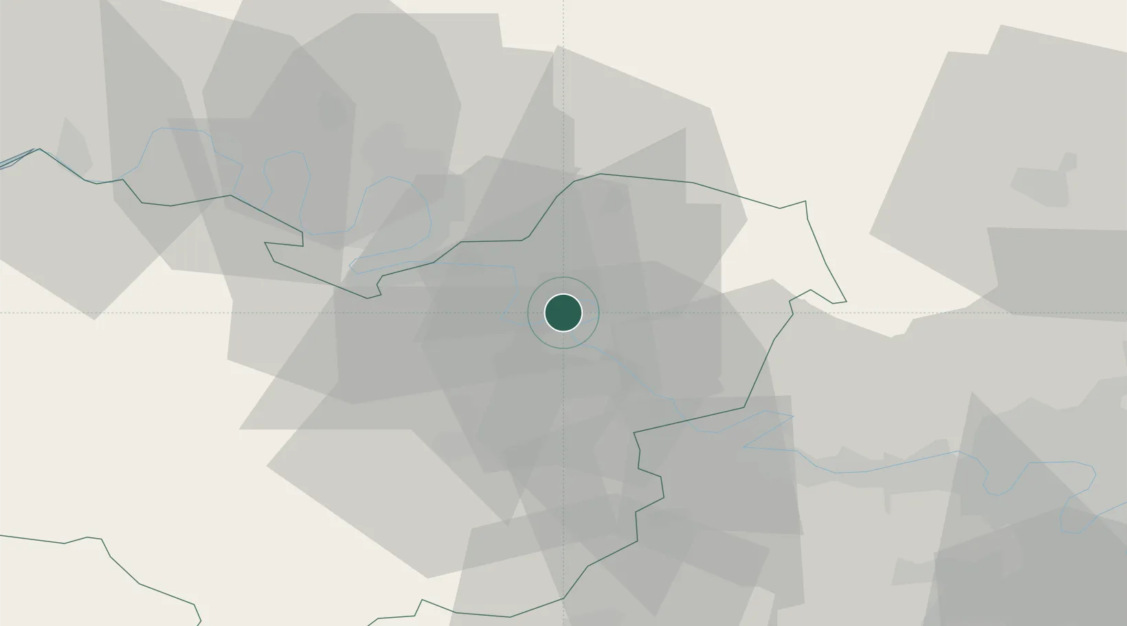
Location
Nearby Logistics Neighbours
Cities
- 1Muids3 km
- 2Heudebouville7 km
- 3Gaillon7 km
- 4Vironvay9 km
- 5Val-de-Reuil10 km
Ports
- 1Port Of Rouen31 km
- 2Dieppe80 km
- 3Honfleur84 km
- 4Fecamp92 km
- 5Deauville92 km
Airports
Trade Zones
- 1ZFU Évreux27 km
- 2ZFU Rouen Bihorel31 km
- 3ZFU Mantes-la-Jolie39 km
- 4ZFU Les Mureaux49 km
- 5ZFU Dreux et Sainte-Gemme-Moronval54 km
DatabookThe Record of Consolidated Knowledge
France beyond logistics?