Transport Functions
Port
Rail
Road
Hub Profile
Place type
Populated place
Region
Occitanie
Population
3,691
Time zone
Europe/Paris
Elevation
153 m
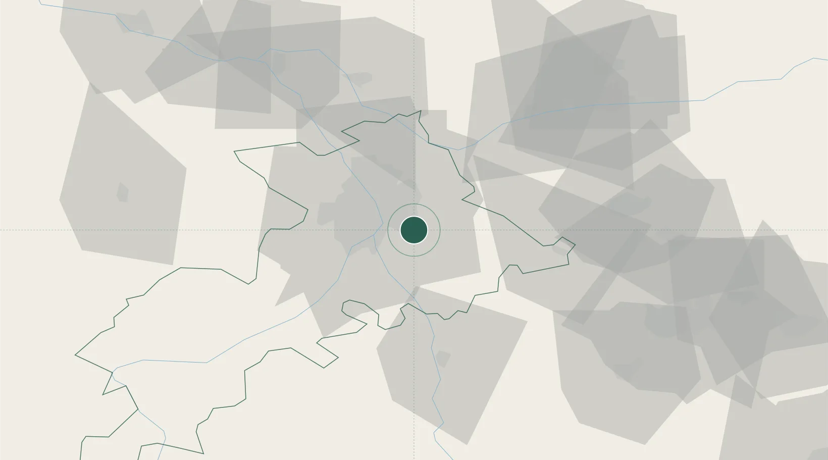
Location
Nearby Logistics Neighbours
Cities
- 1Lauzerville3 km
- 2Pompertuzat4 km
- 3Auzeville-Tolosane4 km
- 4Belberaud5 km
- 5Deyme6 km
Ports
- 1Port-La-Nouvelle137 km
- 2Port-Vendres171 km
- 3Sete176 km
- 4Rosas195 km
- 5Bordeaux224 km
Airports
Trade Zones
- 1ZFU Toulouse11 km
- 2ZFU Béziers138 km
- 3ZFU Perpignan144 km
- 4ZFU Montpellier187 km
- 5ZFU Hauts de Garonne222 km
DatabookThe Record of Consolidated Knowledge
France beyond logistics?