Transport Functions
Rail
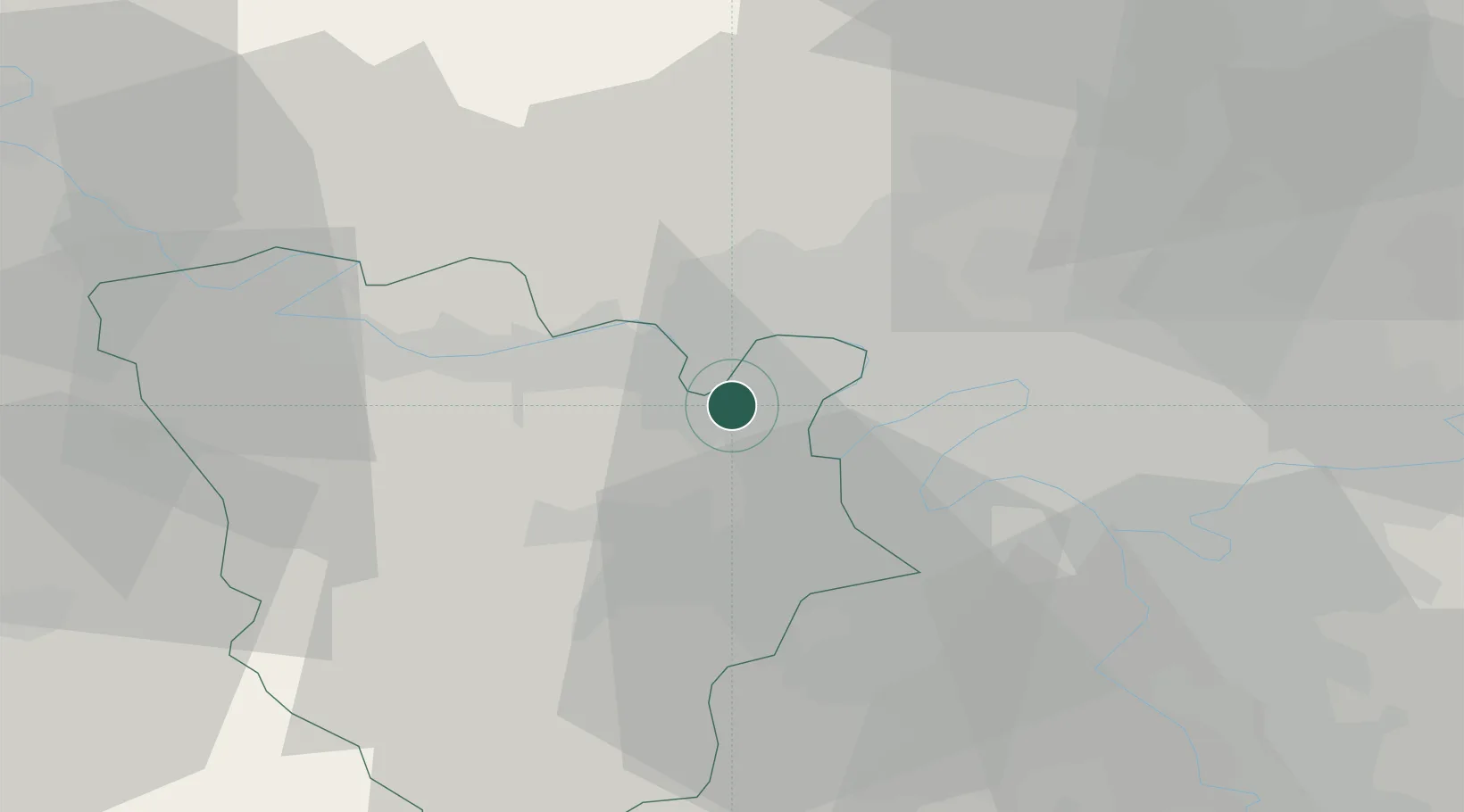
Hub Profile
Place type
Populated place
Region
Île-de-France
Population
36,431
Time zone
Europe/Paris
Elevation
31 m
Location
Nearby Logistics Neighbours
Cities
- 1Achères4 km
- 2Fourqueux6 km
- 3Vernouillet6 km
- 4Montreuil-la-Cambe7 km
- 5Verneuil-sur-Seine7 km
Ports
- 1Port Of Rouen92 km
- 2Dieppe131 km
- 3Le Treport135 km
- 4Saint-Valery-Sur-Somme143 km
- 5Honfleur144 km
Airports
Trade Zones
- 1ZFU Sartrouville8 km
- 2ZFU Les Mureaux13 km
- 3ZFU Argenteuil13 km
- 4ZFU Trappes18 km
- 5ZFU Epinay-sur-Seine18 km
DatabookThe Record of Consolidated Knowledge
France beyond logistics?