Transport Functions
Rail
Road
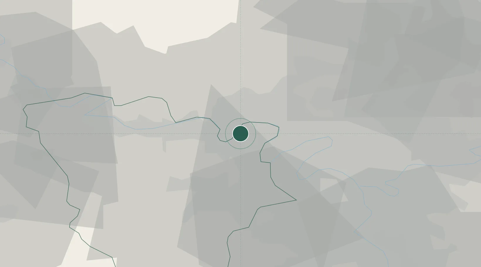
Hub Profile
Place type
Populated place
Region
Île-de-France
Population
21,660
Time zone
Europe/Paris
Elevation
29 m
Location
Nearby Logistics Neighbours
Cities
- 1Maurecourt4 km
- 2Poissy4 km
- 3Jouy-le-Moutier6 km
- 4Vernouillet6 km
- 5Verneuil-sur-Seine6 km
Ports
- 1Port Of Rouen90 km
- 2Dieppe129 km
- 3Le Treport132 km
- 4Saint-Valery-Sur-Somme139 km
- 5Honfleur143 km
Airports
Trade Zones
- 1ZFU Sartrouville7 km
- 2ZFU Argenteuil12 km
- 3ZFU Les Mureaux13 km
- 4ZFU Epinay-sur-Seine17 km
- 5ZFU Trappes22 km
DatabookThe Record of Consolidated Knowledge
France beyond logistics?