Transport Functions
Multimodal
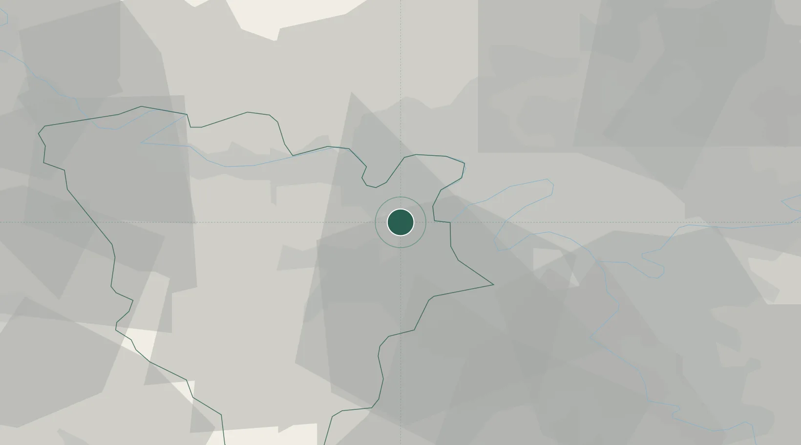
Hub Profile
Place type
Populated place
Region
Île-de-France
Population
4,433
Time zone
Europe/Paris
Elevation
116 m
Location
Nearby Logistics Neighbours
Cities
- 1L'Étang-la-Ville2 km
- 2Le Port-Marly4 km
- 3Montreuil-la-Cambe5 km
- 4Bougival5 km
- 5Poissy6 km
Ports
- 1Port Of Rouen96 km
- 2Dieppe137 km
- 3Le Treport141 km
- 4Honfleur147 km
- 5Saint-Valery-Sur-Somme148 km
Airports
Trade Zones
- 1ZFU Sartrouville9 km
- 2ZFU Trappes13 km
- 3ZFU Argenteuil14 km
- 4ZFU Les Mureaux17 km
- 5ZFU Epinay-sur-Seine19 km
DatabookThe Record of Consolidated Knowledge
France beyond logistics?