Transport Functions
Road
Multimodal
Hub Profile
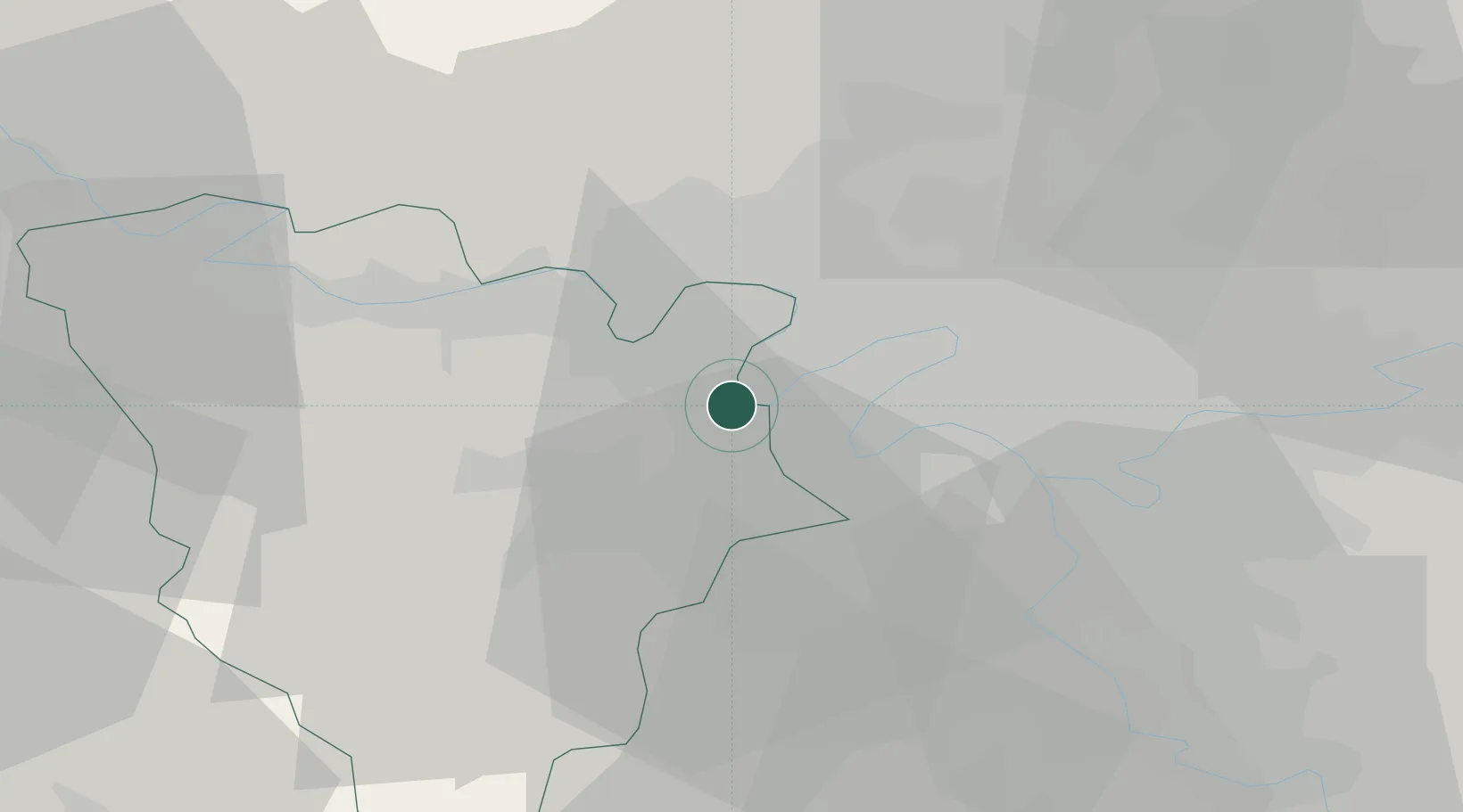
Place type
Populated place
Region
Île-de-France
Population
4,640
Time zone
Europe/Paris
Elevation
24 m
Location
Nearby Logistics Neighbours
Cities
- 1Bougival2 km
- 2Fourqueux4 km
- 3L'Étang-la-Ville4 km
- 4Houilles5 km
- 5Nanterre6 km
Ports
- 1Port Of Rouen99 km
- 2Dieppe139 km
- 3Le Treport142 km
- 4Saint-Valery-Sur-Somme149 km
- 5Honfleur150 km
Airports
Trade Zones
- 1ZFU Sartrouville7 km
- 2ZFU Argenteuil11 km
- 3ZFU Trappes15 km
- 4ZFU Epinay-sur-Seine16 km
- 5ZFU Aubervilliers, Bobigny, Drancy et Pantin20 km
DatabookThe Record of Consolidated Knowledge
France beyond logistics?