Economic Revitalization Project · France

ZFU Aubervilliers, Bobigny, Drancy et Pantin Active
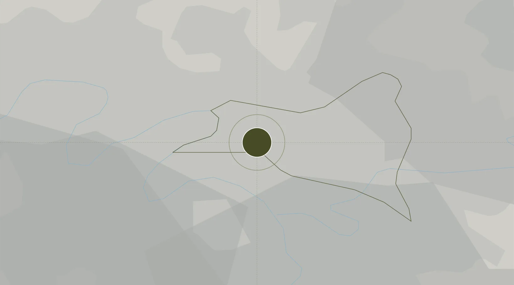
48.9146°, 2.3819°
210 ha
Zone area
112.6 km
Nearest port
6.6 km
Nearest airport

Gateway access

Nearest neighbours — logibook spatial index (haversine) over the source coordinates

Zone profile

Zone type
Economic Revitalization Project
Open Zone Map
Region
Seine-Saint-Denis
Open Zone Map
Status
Active
Open Zone Map
Management
Public
Open Zone Map
Operator
Ville d'Aubervilliers
Open Zone Map
Legal framework
Décret no 65-939 du 8 novembre 1965, Décret du 9 Octobre 2008
Open Zone Map

Location

Location of ozm-1994
Natural Earth 10m (public domain) · Seine-Saint-Denis · ozm-1994 · 48.91, 2.38GoogleOSMYandex

Nearby Logistics Neighbours

Ports
  1. 1Port Of Rouen113 km
  2. 2Dieppe147 km
  3. 3Le Treport148 km
  4. 4Saint-Valery-Sur-Somme152 km
  5. 5Honfleur167 km
Nearest neighbours — logibook spatial index (haversine) over the source coordinates
Airports
  1. 1Paris-Le Bourget International Airport7 km
  2. 2Charles de Gaulle International Airport16 km
  3. 3Vélizy-Villacoublay Air Base20 km
  4. 4Paris-Orly Airport21 km
  5. 5Toussus-le-Noble Airport27 km
Nearest neighbours — logibook spatial index (haversine) over the source coordinates
Cities
  1. 1Pantin2 km
  2. 2Saint-Ouen4 km
  3. 3Le Blanc-Mesnil5 km
  4. 4Le Bourget Apt/Paris5 km
  5. 5Clichy6 km
Nearest neighbours — logibook spatial index (haversine) over the source coordinates
Trade Zones
  1. 1ZFU La Courneuve1 km
  2. 2ZFU Stains5 km
  3. 3ZFU Garges-lès-Gonesse et Sarcelles7 km
  4. 4ZFU Aulnay-sous-Bois7 km
  5. 5ZFU Le Blanc-Mesnil, Dugny7 km
Nearest neighbours — logibook spatial index (haversine) over the source coordinates
DatabookThe Record of Consolidated Knowledge
France beyond logistics?
Browse databook

All Sources

Trade ZonesOpen Zone Map
CC BY
Portsthe NGA World Port Index
Public domain (US gov)
AirportsOurAirports
Public domain
LocationsUN/LOCODE
UN/LOCODE — free
← France trade zones