Transport Functions
Rail
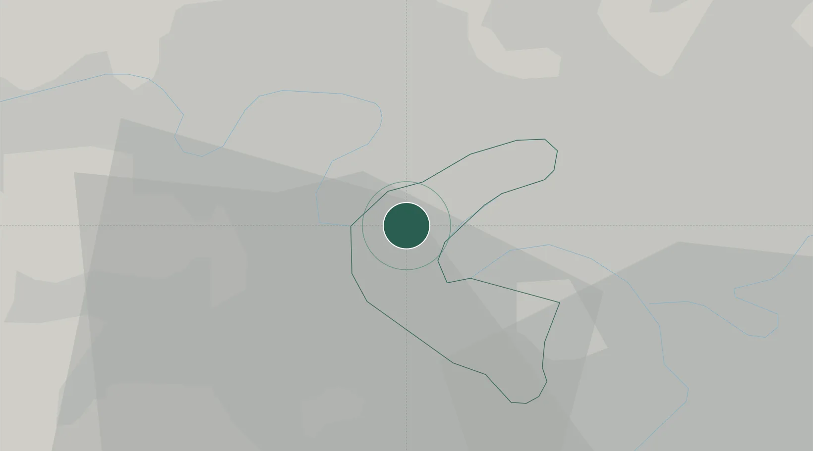
Hub Profile
Place type
Provincial seat
Region
Île-de-France
Population
86,719
Time zone
Europe/Paris
Elevation
50 m
Location
Nearby Logistics Neighbours
Cities
- 1La Garenne-Colombes4 km
- 2Houilles4 km
- 3Colombes5 km
- 4Bougival5 km
- 5Garches6 km
Ports
- 1Port Of Rouen104 km
- 2Dieppe142 km
- 3Le Treport145 km
- 4Saint-Valery-Sur-Somme151 km
- 5Honfleur156 km
Airports
Trade Zones
- 1ZFU Sartrouville7 km
- 2ZFU Argenteuil8 km
- 3ZFU Epinay-sur-Seine11 km
- 4ZFU Aubervilliers, Bobigny, Drancy et Pantin14 km
- 5ZFU La Courneuve15 km
DatabookThe Record of Consolidated Knowledge
France beyond logistics?