Transport Functions
Road
Multimodal
Hub Profile
Place type
Populated place
Region
Île-de-France
Population
31,121
Time zone
Europe/Paris
Elevation
30 m
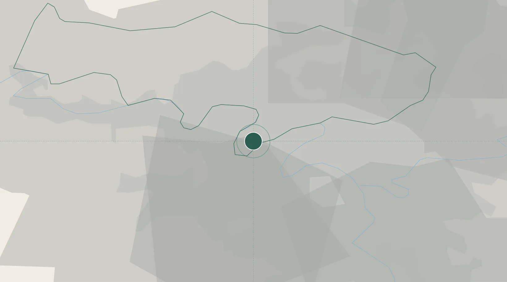
Location
Nearby Logistics Neighbours
Cities
- 1Nanterre4 km
- 2Le Port-Marly5 km
- 3Bougival6 km
- 4Colombes6 km
- 5La Garenne-Colombes6 km
Ports
- 1Port Of Rouen100 km
- 2Dieppe138 km
- 3Le Treport140 km
- 4Saint-Valery-Sur-Somme146 km
- 5Honfleur152 km
Airports
Trade Zones
- 1ZFU Sartrouville2 km
- 2ZFU Argenteuil6 km
- 3ZFU Epinay-sur-Seine11 km
- 4ZFU Aubervilliers, Bobigny, Drancy et Pantin16 km
- 5ZFU Stains16 km
DatabookThe Record of Consolidated Knowledge
France beyond logistics?