Transport Functions
Rail
Road
Hub Profile
Place type
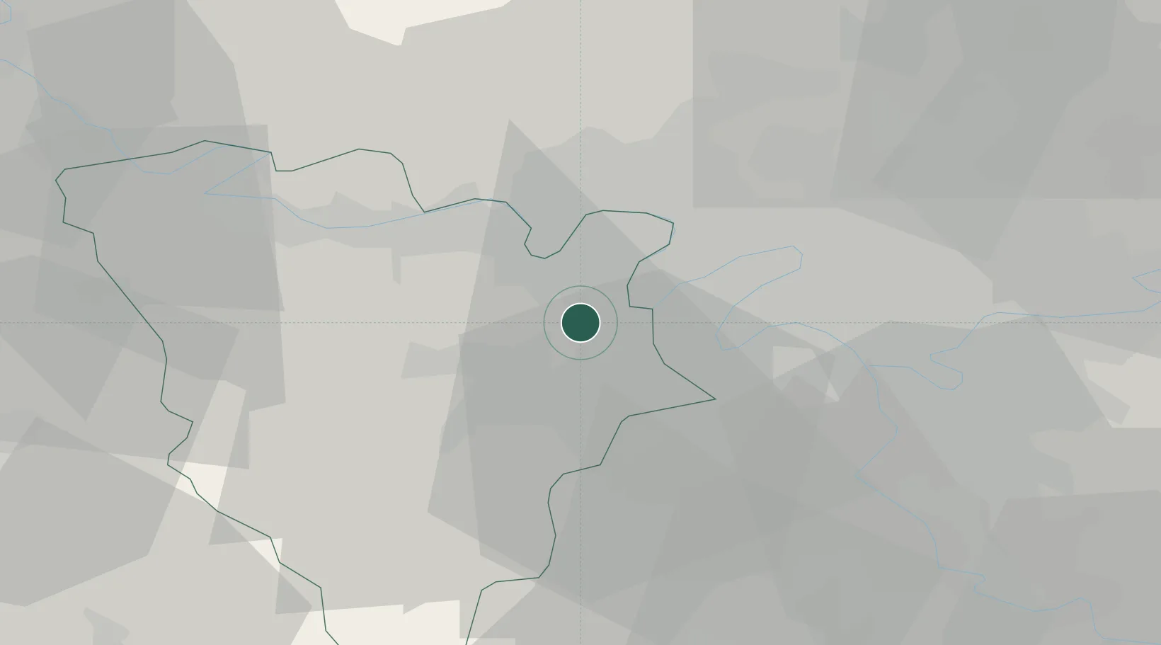
Populated place
Region
Île-de-France
Population
4,641
Time zone
Europe/Paris
Elevation
112 m
Location
Nearby Logistics Neighbours
Cities
- 1Fourqueux2 km
- 2Le Port-Marly4 km
- 3Bougival5 km
- 4Montreuil-la-Cambe5 km
- 5Saint-Cyr-l'École7 km
Ports
- 1Port Of Rouen97 km
- 2Dieppe138 km
- 3Le Treport143 km
- 4Honfleur148 km
- 5Saint-Valery-Sur-Somme150 km
Airports
Trade Zones
- 1ZFU Sartrouville10 km
- 2ZFU Trappes11 km
- 3ZFU Argenteuil15 km
- 4ZFU Les Mureaux19 km
- 5ZFU Epinay-sur-Seine20 km
DatabookThe Record of Consolidated Knowledge
France beyond logistics?