UN/LOCODE hub · France
FRPL6

Plumaudan

48.3500°, -2.1333°
953
Population
2
Transport functions

Transport Functions

Road
Multimodal
UN/LOCODE

Hub Profile

Place type
Populated place
GeoNames
Region
Brittany
GeoNames
Population
953
GeoNames
Time zone
Europe/Paris
GeoNames
Elevation
82 m
GeoNames

Location

Location of FRPL6
Natural Earth 10m (public domain) · Brittany · FRPL6 · 48.35, -2.13GoogleOSMYandex

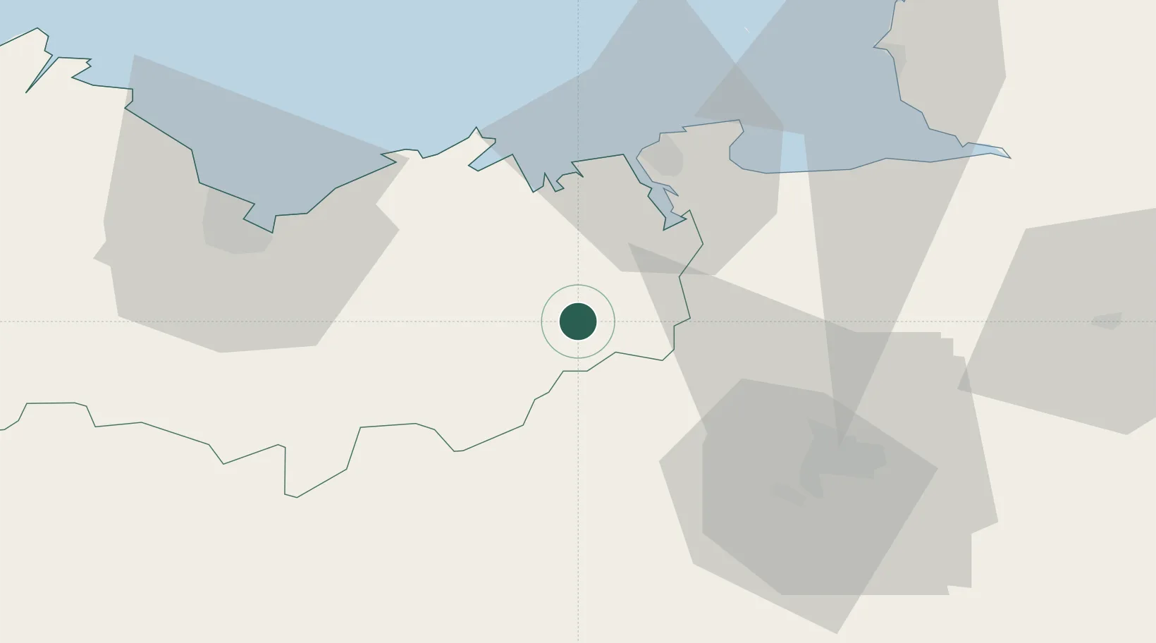
Nearby Logistics Neighbours

Cities
  1. 1Dinan13 km
  2. 2Quévert14 km
  3. 3Saint-M'Hervon14 km
  4. 4Megrit17 km
  5. 5Lanrelas17 km
Nearest neighbours — logibook spatial index (haversine) over the source coordinates
Ports
  1. 1Saint-Malo34 km
  2. 2Le Legue50 km
  3. 3Granville67 km
  4. 4Paimpol83 km
  5. 5Pontrieux85 km
Nearest neighbours — logibook spatial index (haversine) over the source coordinates
Airports
  1. 1Dinard Pleurtuit Saint-Malo airport27 km
  2. 2Rennes-Saint-Jacques Airport43 km
  3. 3Saint-Brieuc-Armor Airport57 km
  4. 4Granville Airport73 km
  5. 5Vannes-Meucon Airport82 km
Nearest neighbours — logibook spatial index (haversine) over the source coordinates
Trade Zones
  1. 1ZFU Saint-Nazaire120 km
  2. 2ZFU Nantes et Saint-Herblain129 km
  3. 3ZFU Cherbourg-Octeville148 km
  4. 4ZFU Angers150 km
  5. 5ZFU La Guérinière, La Grâce de Dieu157 km
Nearest neighbours — logibook spatial index (haversine) over the source coordinates
DatabookThe Record of Consolidated Knowledge
France beyond logistics?
Browse databook

All Sources

LocationsUN/LOCODE
UN/LOCODE — free
LocationsGeoNames
CC BY 4.0
Portsthe NGA World Port Index
Public domain (US gov)
AirportsOurAirports
Public domain
Trade Zonesthe World Bank SEZ database
CC BY 4.0
Trade ZonesOpen Zone Map
CC BY
← France locations