UN/LOCODE hub · France
FRPJ2

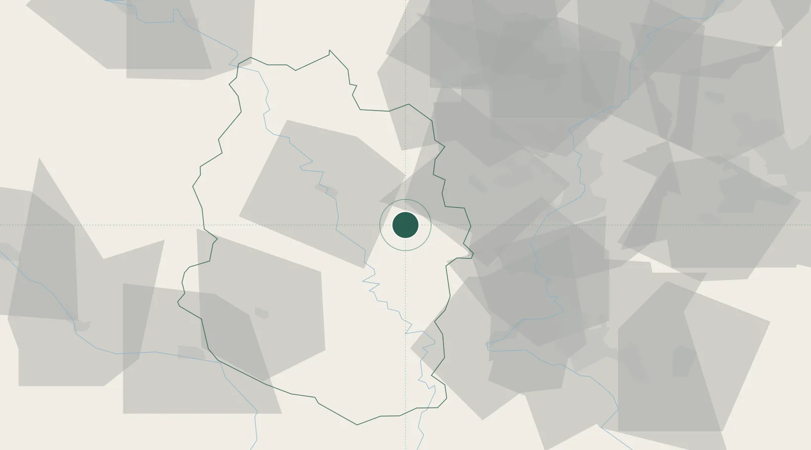
Combres-sous-les-Côtes

49.0500°, 5.6333°
126
Population
1
Transport functions

Transport Functions

Multimodal
UN/LOCODE

Hub Profile

Place type
Populated place
GeoNames
Region
Grand Est
GeoNames
Population
126
GeoNames
Time zone
Europe/Paris
GeoNames
Elevation
251 m
GeoNames

Location

Location of FRPJ2
Natural Earth 10m (public domain) · Grand Est · FRPJ2 · 49.05, 5.63GoogleOSMYandex

Nearby Logistics Neighbours

Cities
  1. 1Ambly-sur-Meuse14 km
  2. 2Dieue-Sur-Meuse16 km
  3. 3Chauvoncourt19 km
  4. 4Jarny20 km
  5. 5Conflans-en-Jarnisy20 km
Nearest neighbours — logibook spatial index (haversine) over the source coordinates
Ports
  1. 1Bruxelles222 km
  2. 2Antwerpen256 km
  3. 3Ghent262 km
  4. 4Terneuzen287 km
  5. 5Hansweert291 km
Nearest neighbours — logibook spatial index (haversine) over the source coordinates
Airports
  1. 1Verdun-Le Rozelier Airfield14 km
  2. 2Lieutenant Étienne Mantoux Air Base20 km
  3. 3Metz-Nancy-Lorraine Airport46 km
  4. 4Nancy-Ochey (BA 133) Air Base57 km
  5. 5Nancy-Essey Airport59 km
Nearest neighbours — logibook spatial index (haversine) over the source coordinates
Trade Zones
  1. 1ZFU Metz39 km
  2. 2ZFU Woippy-Metz39 km
  3. 3ZFU Maxéville, Laxou, et de Nancy54 km
  4. 4ZFU Saint-Dizier73 km
  5. 5Luxembourg Free Port78 km
Nearest neighbours — logibook spatial index (haversine) over the source coordinates
DatabookThe Record of Consolidated Knowledge
France beyond logistics?
Browse databook

All Sources

LocationsUN/LOCODE
UN/LOCODE — free
LocationsGeoNames
CC BY 4.0
Portsthe NGA World Port Index
Public domain (US gov)
AirportsOurAirports
Public domain
Trade Zonesthe World Bank SEZ database
CC BY 4.0
Trade ZonesOpen Zone Map
CC BY
← France locations