UN/LOCODE hub · France
FRCEJ
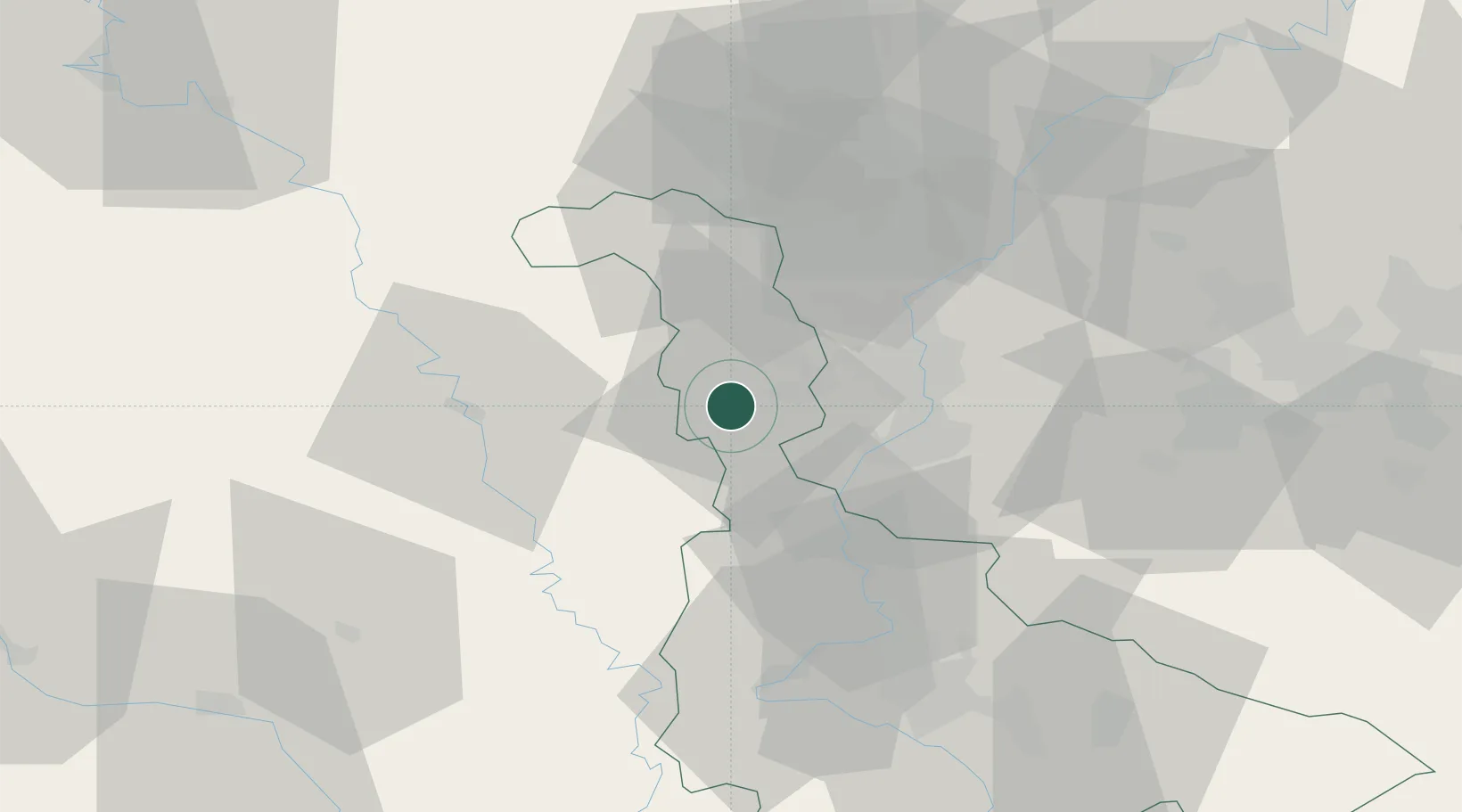
Conflans-en-Jarnisy
49.1667°, 5.8500°
2,619
Population
1
Transport functions
Transport Functions
Rail
Hub Profile
Place type
Populated place
Region
Grand Est
Population
2,619
Time zone
Europe/Paris
Elevation
188 m
Location
Nearby Logistics Neighbours
Cities
- 1Jarny2 km
- 2Hatrize4 km
- 3Moineville8 km
- 4Homécourt12 km
- 5Rosselange19 km
Airports
Trade Zones
- 1ZFU Woippy-Metz22 km
- 2ZFU Metz24 km
- 3ZFU Maxéville, Laxou, et de Nancy56 km
- 4Luxembourg Free Port59 km
- 5ZFU La Cité Behren-lès-Forbach78 km
DatabookThe Record of Consolidated Knowledge
France beyond logistics?