UN/LOCODE hub · France
FR9DS

Dieue-Sur-Meuse

49.0667°, 5.4167°
1,449
Population
2
Transport functions

Transport Functions

Port
Multimodal
UN/LOCODE

Hub Profile

Place type
Populated place
GeoNames
Region
Grand Est
GeoNames
Population
1,449
GeoNames
Time zone
Europe/Paris
GeoNames
Elevation
205 m
GeoNames

Location

Location of FR9DS
Natural Earth 10m (public domain) · Grand Est · FR9DS · 49.07, 5.42GoogleOSMYandex

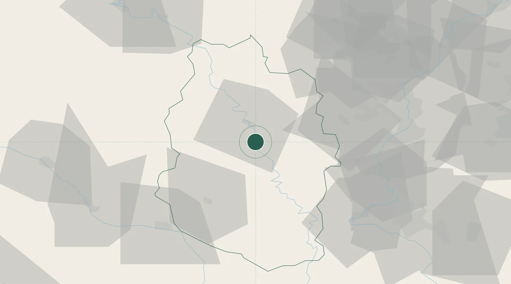
Nearby Logistics Neighbours

Cities
  1. 1Ambly-sur-Meuse6 km
  2. 2Verdun11 km
  3. 3Combres-sous-les-Côtes16 km
  4. 4Chauvoncourt20 km
  5. 5Lérouville33 km
Nearest neighbours — logibook spatial index (haversine) over the source coordinates
Ports
  1. 1Bruxelles214 km
  2. 2Antwerpen250 km
  3. 3Ghent253 km
  4. 4Terneuzen278 km
  5. 5Hansweert284 km
Nearest neighbours — logibook spatial index (haversine) over the source coordinates
Airports
  1. 1Verdun-Le Rozelier Airfield7 km
  2. 2Lieutenant Étienne Mantoux Air Base26 km
  3. 3Saint-Dizier – Robinson Air Base61 km
  4. 4Metz-Nancy-Lorraine Airport62 km
  5. 5Nancy-Ochey (BA 133) Air Base67 km
Nearest neighbours — logibook spatial index (haversine) over the source coordinates
Trade Zones
  1. 1ZFU Woippy-Metz54 km
  2. 2ZFU Metz54 km
  3. 3ZFU Saint-Dizier63 km
  4. 4ZFU Maxéville, Laxou, et de Nancy68 km
  5. 5Luxembourg Free Port86 km
Nearest neighbours — logibook spatial index (haversine) over the source coordinates
DatabookThe Record of Consolidated Knowledge
France beyond logistics?
Browse databook

All Sources

LocationsUN/LOCODE
UN/LOCODE — free
LocationsGeoNames
CC BY 4.0
Portsthe NGA World Port Index
Public domain (US gov)
AirportsOurAirports
Public domain
Trade Zonesthe World Bank SEZ database
CC BY 4.0
Trade ZonesOpen Zone Map
CC BY
← France locations