Transport Functions
Rail
Road
Hub Profile
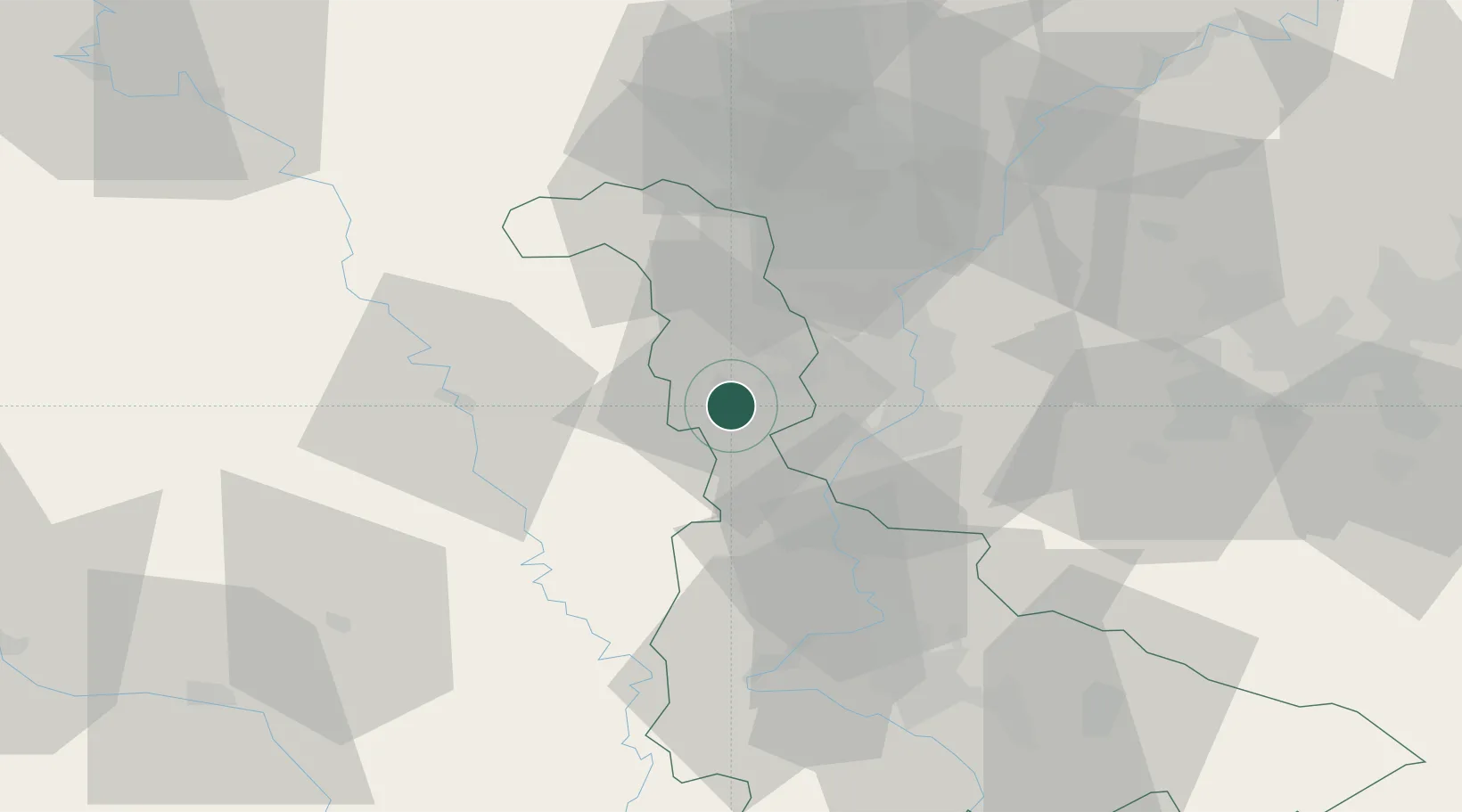
Place type
Populated place
Region
Grand Est
Population
8,704
Time zone
Europe/Paris
Elevation
205 m
Location
Nearby Logistics Neighbours
Cities
- 1Conflans-en-Jarnisy2 km
- 2Hatrize4 km
- 3Moineville8 km
- 4Homécourt12 km
- 5Vaux18 km
Airports
Trade Zones
- 1ZFU Woippy-Metz21 km
- 2ZFU Metz22 km
- 3ZFU Maxéville, Laxou, et de Nancy54 km
- 4Luxembourg Free Port60 km
- 5ZFU La Cité Behren-lès-Forbach77 km
DatabookThe Record of Consolidated Knowledge
France beyond logistics?