Transport Functions
Rail
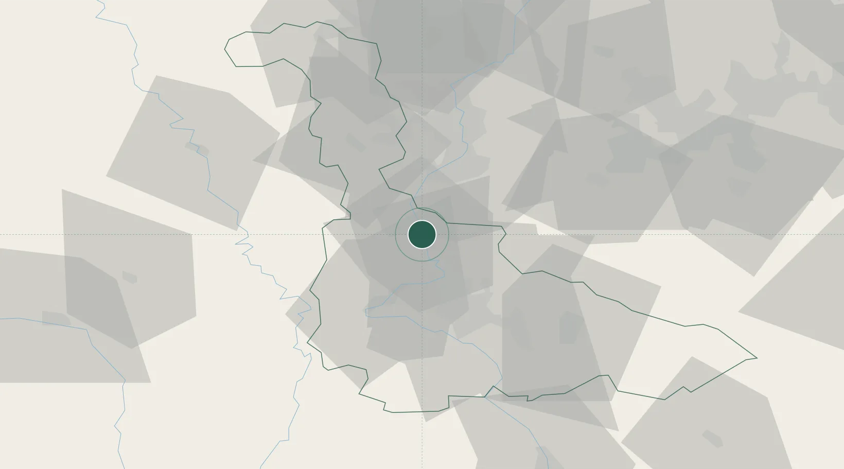
Hub Profile
Place type
Populated place
Region
Grand Est
Population
15,411
Time zone
Europe/Paris
Elevation
180 m
Location
Nearby Logistics Neighbours
Cities
- 1Blénod-lès-Pont-à-Mousson2 km
- 2Dieulouard6 km
- 3Vandières6 km
- 4Pagny-sur-Moselle10 km
- 5Millery10 km
Airports
Trade Zones
- 1ZFU Maxéville, Laxou, et de Nancy23 km
- 2ZFU Metz24 km
- 3ZFU Woippy-Metz29 km
- 4ZFU La Cité Behren-lès-Forbach69 km
- 5Luxembourg Free Port83 km
DatabookThe Record of Consolidated Knowledge
France beyond logistics?