UN/LOCODE hub · France
FRBPS

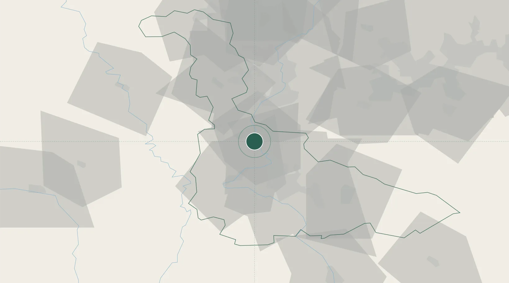
Blénod-lès-Pont-à-Mousson

48.8833°, 6.0500°
5,014
Population
3
Transport functions

Transport Functions

Port
Rail
Road
UN/LOCODE

Hub Profile

Place type
Populated place
GeoNames
Region
Grand Est
GeoNames
Population
5,014
GeoNames
Time zone
Europe/Paris
GeoNames
Elevation
184 m
GeoNames

Location

Location of FRBPS
Natural Earth 10m (public domain) · Grand Est · FRBPS · 48.88, 6.05GoogleOSMYandex

Nearby Logistics Neighbours

Cities
  1. 1Pont-à-Mousson2 km
  2. 2Dieulouard4 km
  3. 3Vandières8 km
  4. 4Millery9 km
  5. 5Pagny-sur-Moselle11 km
Nearest neighbours — logibook spatial index (haversine) over the source coordinates
Ports
  1. 1Bruxelles252 km
  2. 2Antwerpen285 km
  3. 3Ghent294 km
  4. 4Terneuzen317 km
  5. 5Hansweert321 km
Nearest neighbours — logibook spatial index (haversine) over the source coordinates
Airports
  1. 1Metz-Nancy-Lorraine Airport18 km
  2. 2Nancy-Essey Airport25 km
  3. 3Nancy-Ochey (BA 133) Air Base34 km
  4. 4Lieutenant Étienne Mantoux Air Base47 km
  5. 5Verdun-Le Rozelier Airfield50 km
Nearest neighbours — logibook spatial index (haversine) over the source coordinates
Trade Zones
  1. 1ZFU Maxéville, Laxou, et de Nancy21 km
  2. 2ZFU Metz26 km
  3. 3ZFU Woippy-Metz31 km
  4. 4ZFU La Cité Behren-lès-Forbach71 km
  5. 5Luxembourg Free Port85 km
Nearest neighbours — logibook spatial index (haversine) over the source coordinates
DatabookThe Record of Consolidated Knowledge
France beyond logistics?
Browse databook

All Sources

LocationsUN/LOCODE
UN/LOCODE — free
LocationsGeoNames
CC BY 4.0
Portsthe NGA World Port Index
Public domain (US gov)
AirportsOurAirports
Public domain
Trade Zonesthe World Bank SEZ database
CC BY 4.0
Trade ZonesOpen Zone Map
CC BY
← France locations