Transport Functions
Road
Multimodal
Hub Profile
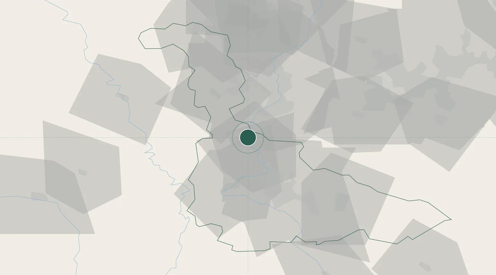
Place type
Populated place
Region
Grand Est
Population
927
Time zone
Europe/Paris
Elevation
181 m
Location
Nearby Logistics Neighbours
Cities
- 1Pagny-sur-Moselle4 km
- 2Pont-à-Mousson6 km
- 3Blénod-lès-Pont-à-Mousson8 km
- 4Dieulouard11 km
- 5Marly14 km
Airports
Trade Zones
- 1ZFU Metz20 km
- 2ZFU Woippy-Metz24 km
- 3ZFU Maxéville, Laxou, et de Nancy29 km
- 4ZFU La Cité Behren-lès-Forbach70 km
- 5Luxembourg Free Port78 km
DatabookThe Record of Consolidated Knowledge
France beyond logistics?