Transport Functions
Port
Road
Hub Profile
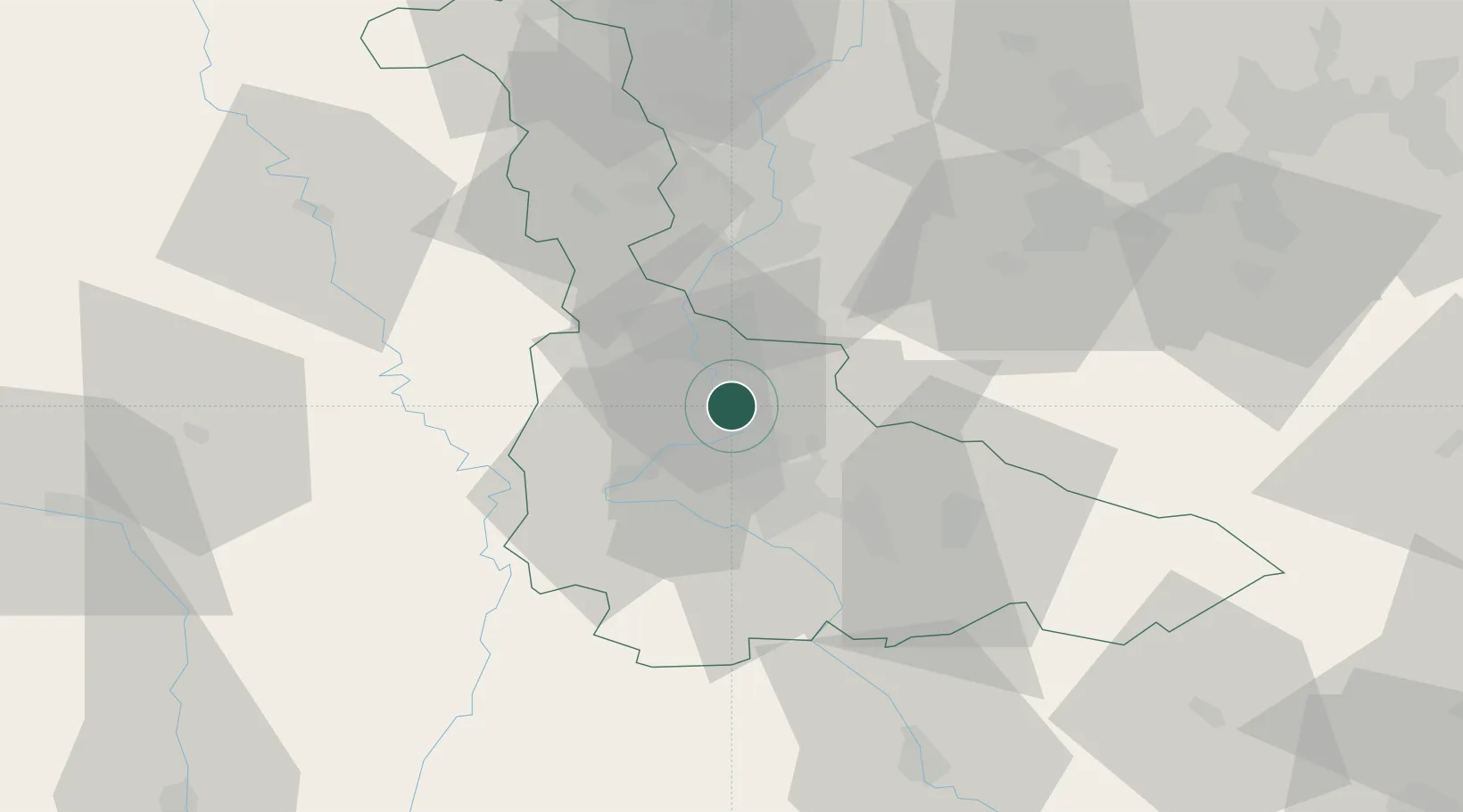
Place type
Populated place
Region
Grand Est
Population
497
Time zone
Europe/Paris
Elevation
197 m
Location
Nearby Logistics Neighbours
Cities
- 1Dieulouard5 km
- 2Pompey6 km
- 3Frouard6 km
- 4Blénod-lès-Pont-à-Mousson9 km
- 5Lay-Saint-Christophe10 km
Airports
Trade Zones
- 1ZFU Maxéville, Laxou, et de Nancy13 km
- 2ZFU Metz32 km
- 3ZFU Woippy-Metz37 km
- 4ZFU La Cité Behren-lès-Forbach71 km
- 5Luxembourg Free Port92 km
DatabookThe Record of Consolidated Knowledge
France beyond logistics?